The Gruffalo Trail is an accessible arboretum sculpture wander through magnificent and varied woodland; suitable for all forms of wheels including wheelchairs and pushchairs. This all weather path is popular with families and is not a place for solitude, especially in school holidays! The trail is dotted with sculptures and woodland activity ideas to encourage adventurers to interact with nature. Also on site is a cafe, toilets, shop and playground along with longer way marked walks around the site.
Gruffalo Trail
Distance:almost a mile (we walked nearly 1.5 miles after playing and investigating)
Time: around an hour (it took us 1 hr 30 mins with lots of stopping to play!)
Guide
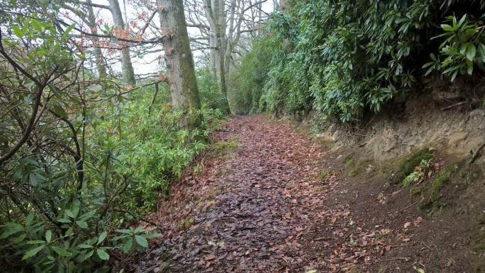
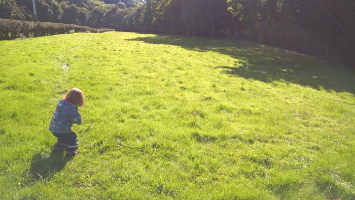
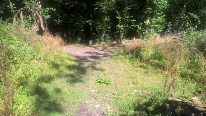
From the car park go past the shop, cafe and toilets then follow the trail up the gentle slope through Lime Avenue.
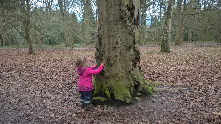
Our adventurer just loves leaves… very easily pleased in an arboretum!!
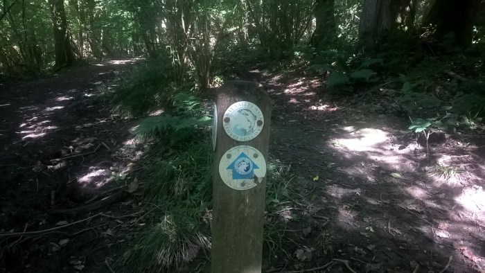
Follow the trail around the corner where you will find… a little brown (yellow?) mouse!
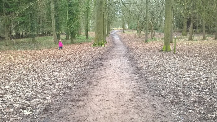
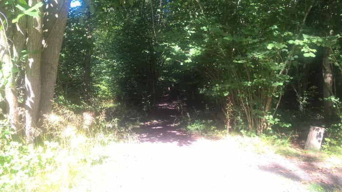
After Mouse turn left, following the signs, heading downhill…
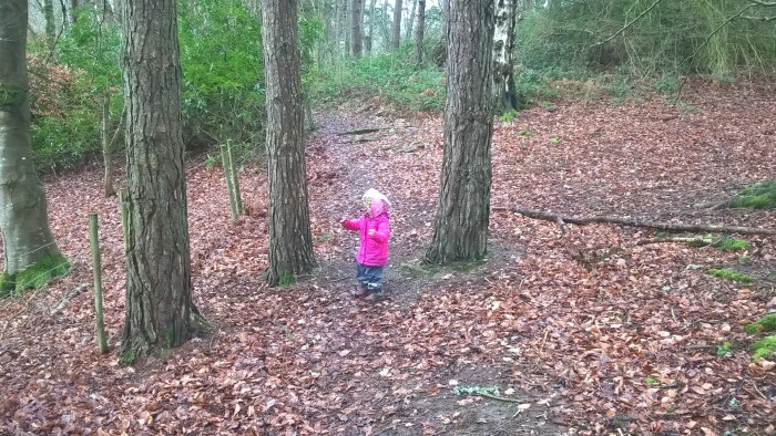
With a bit of off-roading if you fancy…
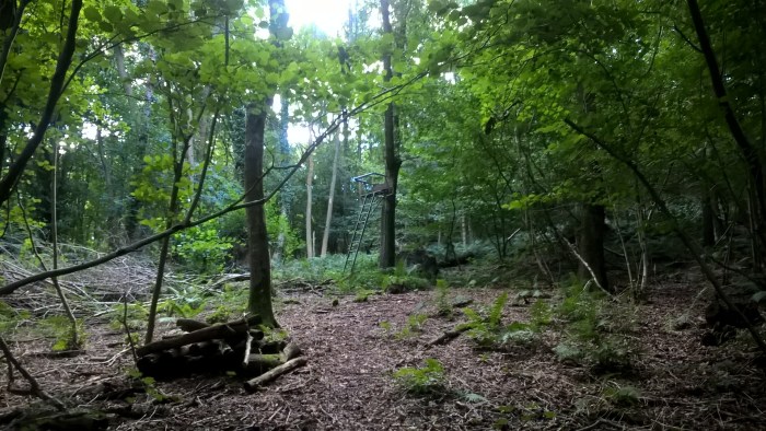
We said hello to Fox and then had a look at some of the fantastic dens people have made in the woods behind.
Along the trail are a number of activity stations, here are a couple to give you an idea – we wouldn’t want to spoil the whole surprise!
Continue along the trail, following the signs along Jubilee Walk. Why not get hands on with some trees?!
At the end of Jubilee Walk you will come to this junction. The path turns left and goes downhill…
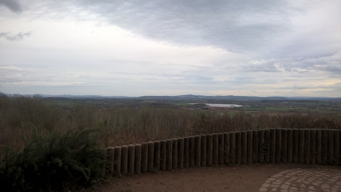
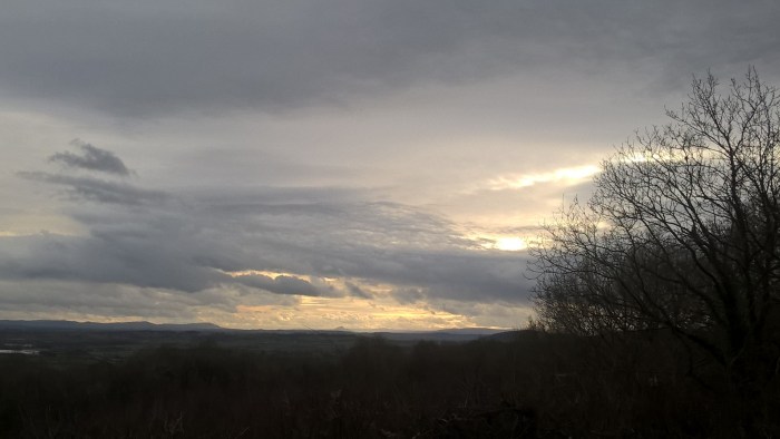
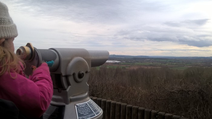
.. however, if you go straight on the just behind the trees is a fantastic view point with the stunning scenery of Herefordshire, the Black Mountains and mid-Wales stretching out before you. Well worth the slight detour.
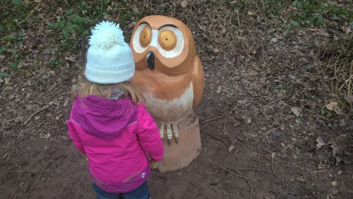
After re-joining the main path you will soon stumble upon our next little friend. Owl.
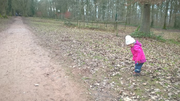
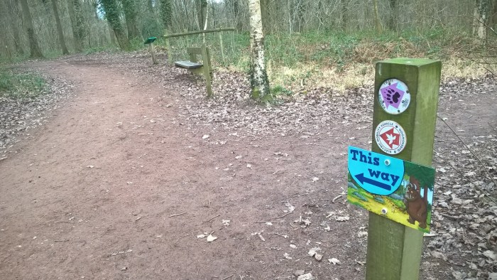
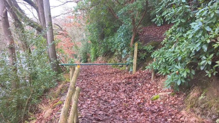
At the bottom of the hill follow this sign and continue straight on at both junctions.
The path now sweeps around the bottom of the hill. Our adventurer seemed to want to get as close as possible to all the grubbiness nature brings – must be a toddler thing!
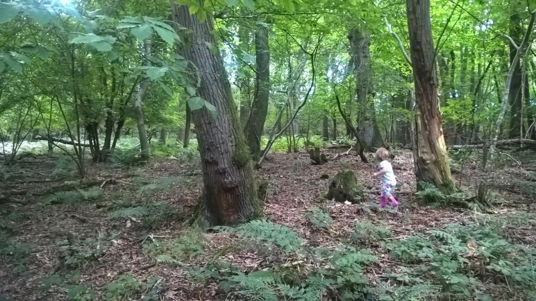
Further around the trail we had lots of fun in what definitely looked like the deep, dark, wood….
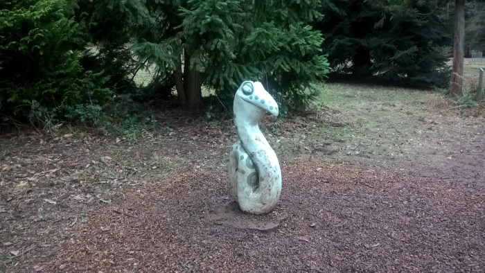
Where we also bumped in Snake… why snake, hello!
Keep following the signed pathway – it would be quite hard to get lost!
But make sure you don’t miss out on the final surprise… a hunt in the woods for the Gruffalo!
But where is he hiding?
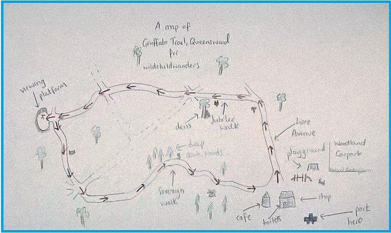
Use this map to guide you on your way. Click to enlarge.
Click on the map below to view it on ViewRanger.
The map reference is SO 505 510.
Queenswood Country Park is a Herefordshire Wildlife Trust and Herefordshire New Leaf site. The site is well maintained and a comfortable family trip to the woods. There is a cafe, toilets, shop and playground on site along with lots of parking. There is a £3 parking charge.
Directions: Queenswood is situated at the top of Dinmore Hill on the A49. Follow the brown and white signs at the top of Dinmore Hill.
Details about public transport to Queenswood can be found here.
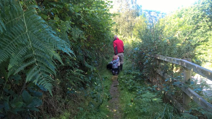
Erwood Station is a riverside wander with rapids, rocks and roots; running alongside the River Wye and up onto the neighbouring hillside. It is sheltered next to the river where you’re protected from the elements, however it is a bit wilder higher up so dress wrap up if it’s windy. There is a steep, up-hill section of walking on the hillside where littler legs might need a hand, if you are looking for a more gentle wander then make this a linear route and stay next to the river. At Erwood Station Gallery you will find toilets, refreshments, parking and a picnic area.
Erwood Station
Distance: 2 miles
Time: around 1 hr 30 mins (a bit longer if you stop to explore)
Guide
From the car park walk towards the gallery keeping to the left of the restored train and past the wildlife hide.
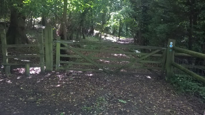
Follow the River Walk sign, go through the gate and along the path. It is a bit lumpy and bumpy with tree roots so those new to walking might need a hand.
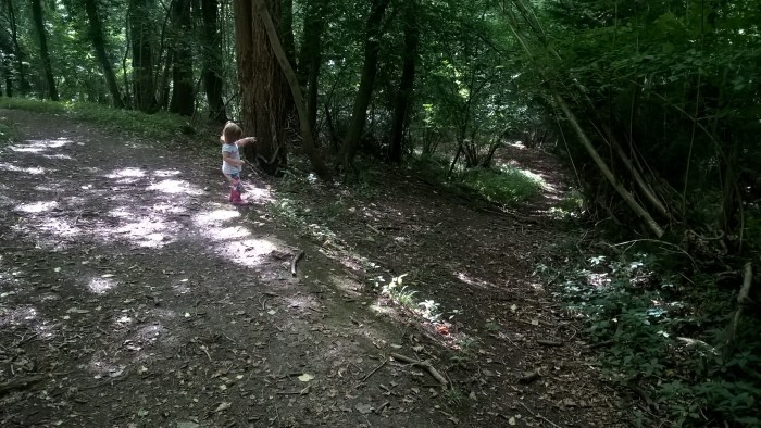
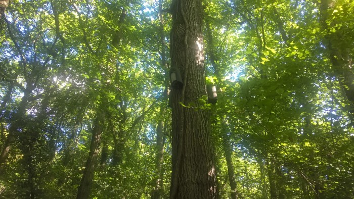
Continue along the path, keeping an eye out for bird boxes in the trees.
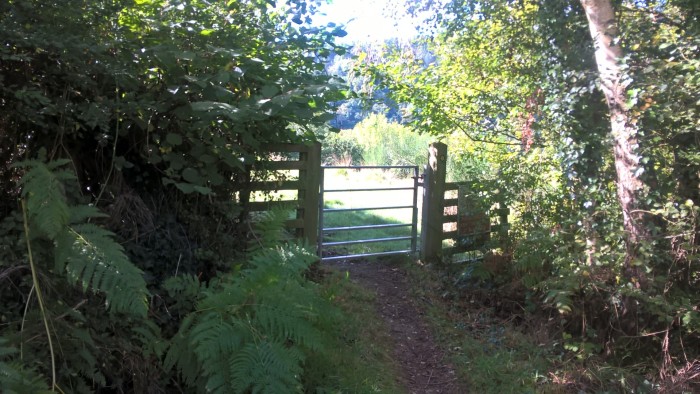
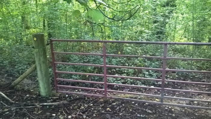
Turn left through the gate and along the path at the edge of a field.
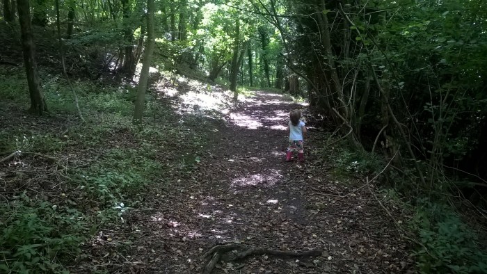
Then down through the trees – careful, it’s a little bit steep here.
Over the bridge..
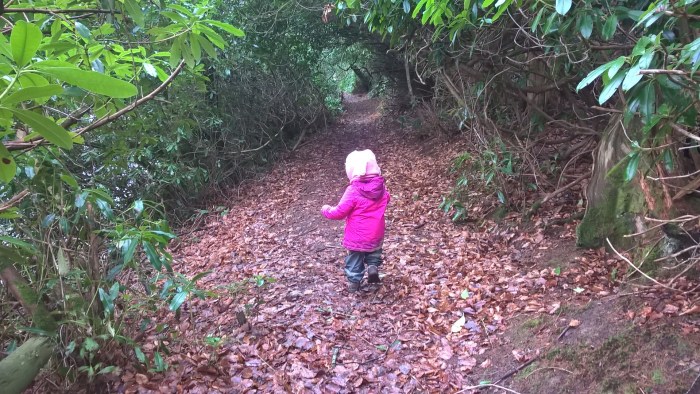
.. and through a magical tree tunnel.
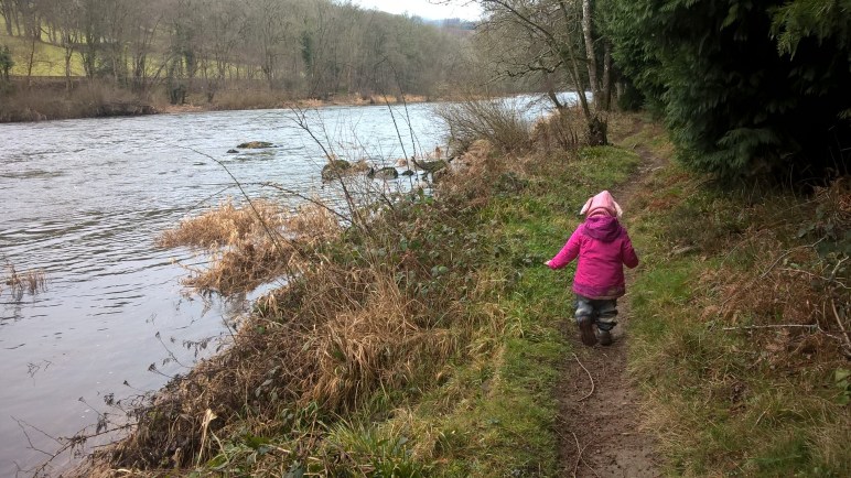
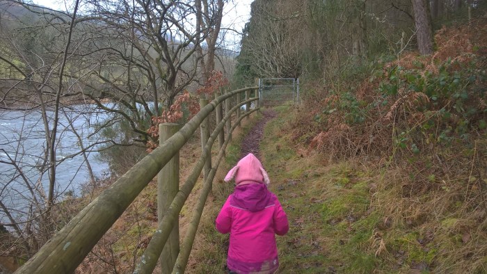
When you go through the next gate, please be aware that you are on the river bank and there isn’t a fence.
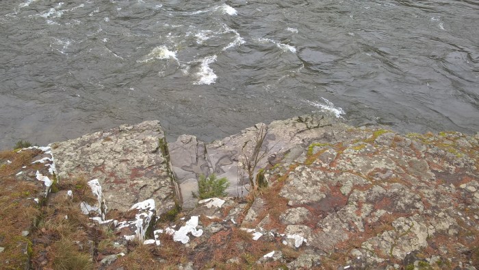
These big, flat rocks are calling out to be explored – obviously be super careful next to the river. We climbed down to have a closer look at the rushing water.
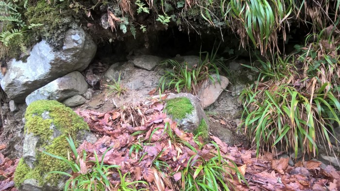
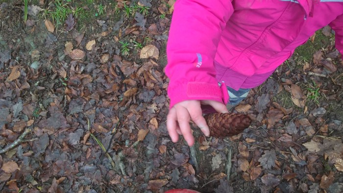
We found some really interesting holes and burrows – who might live in a hole like this?
And of course, some pine cones (soooo many pine cones)!!
The path continues along the river bank, through a couple more gates and then begins to wind uphill, away from the riverbank – if you are looking for a gentler walk then this is a good place to turn back.
Be VERY careful when you reach this point. There is a steep, un-fenced drop, down the bank to the left.
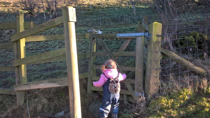
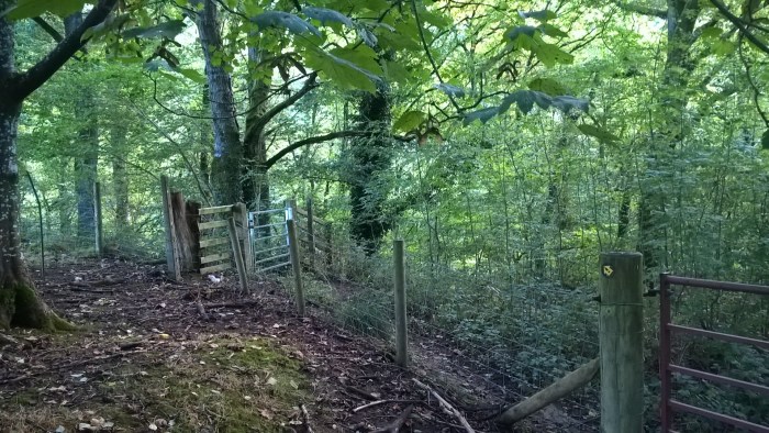
Follow the footpath signs going right, up the short slope, to a gate at the top.
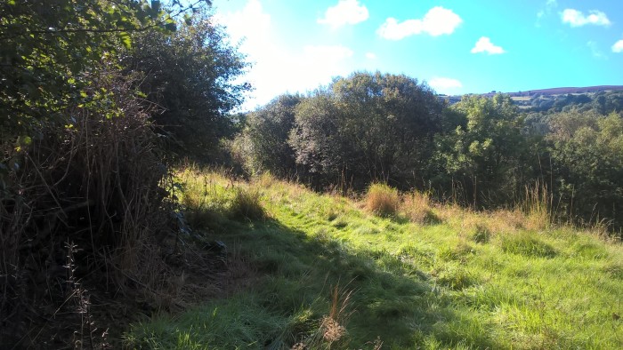
Through the gate head diagonally left across the field and up the bank.
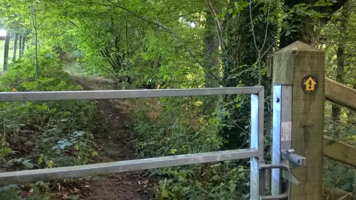
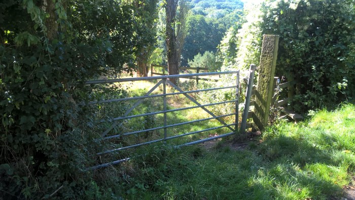
At the top of the bank look right and walk towards the house on the horizon, soon you will see this gate.
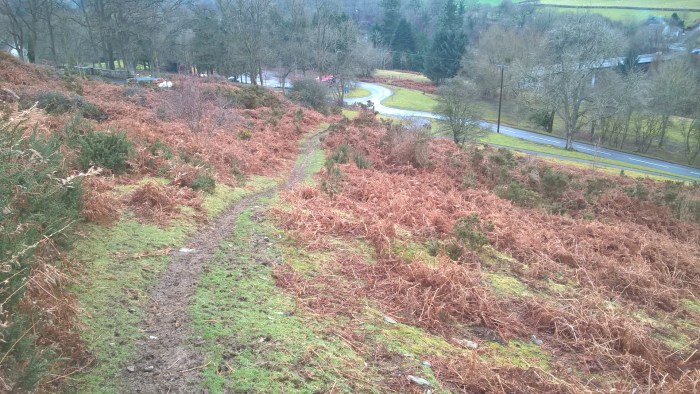
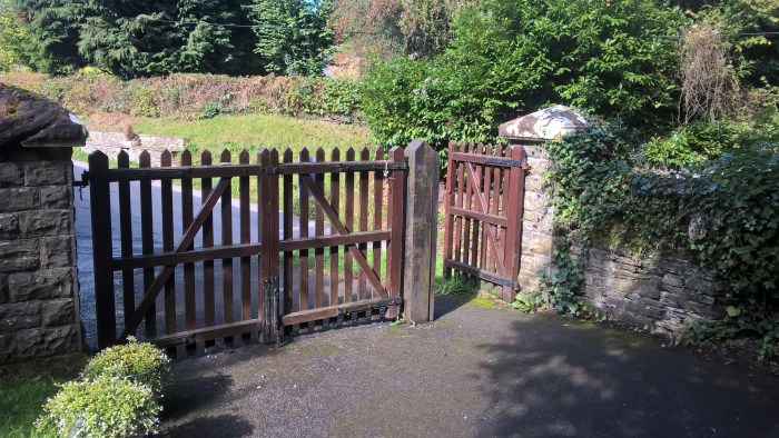
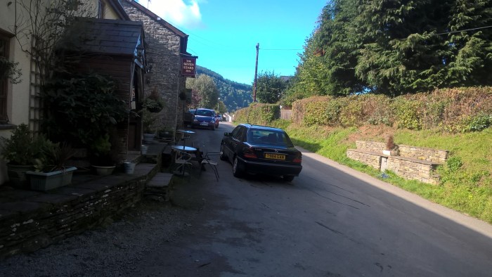
At the road turn right and continue along the wide grass verge until you reach this gate. The road isn’t too busy but the cars do go fast (we try not to walk near roads but this was unavoidable).
After the cattle grid cross the road onto the smaller tarmac lane and head right, up the track on your right. If you want to head straight back you could continue along the road, however further down there isn’t a verge therefore I wouldn’t recommend this.
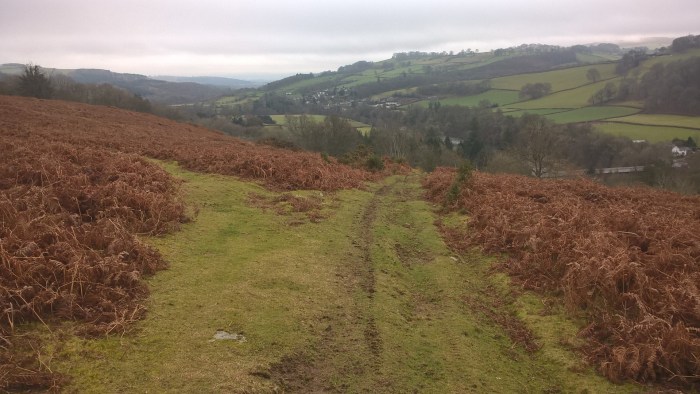
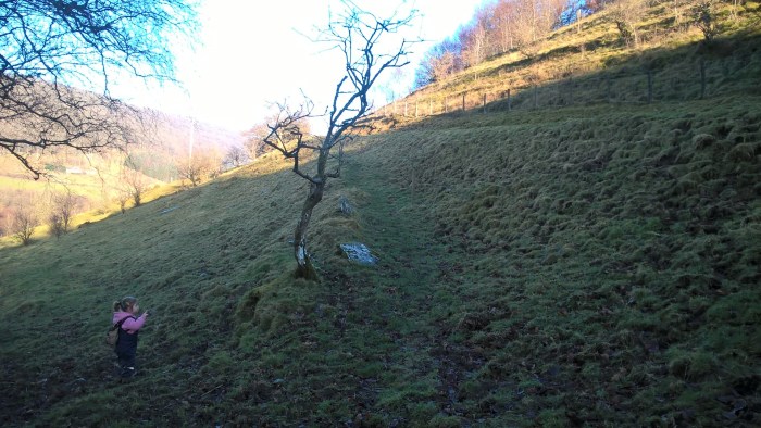
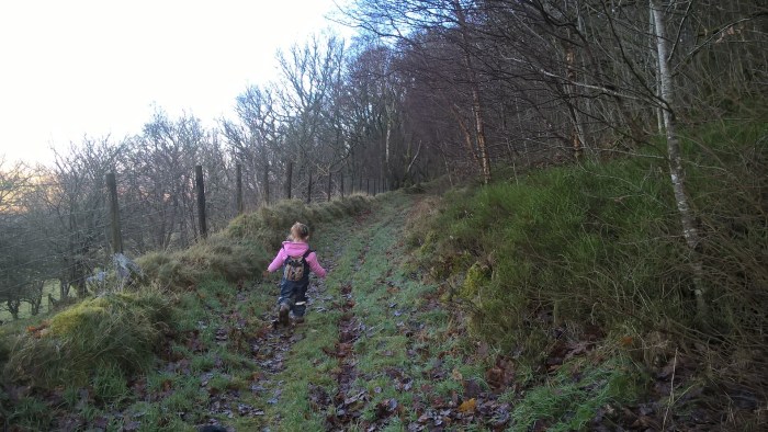
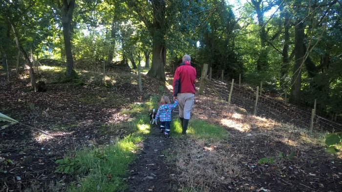
Follow the grassy track up the hill to the trees at the top. This section is pretty steep and our adventurer needed a bit of a carry, especially after the amount she’d already walked (chocolate also helped!) so be prepared to offer a helping hand.
Keep going on the grassy track across the open hillside. There are a couple of gullies and rocky outcrops so ensure adventurers stick to the path as much as possible.
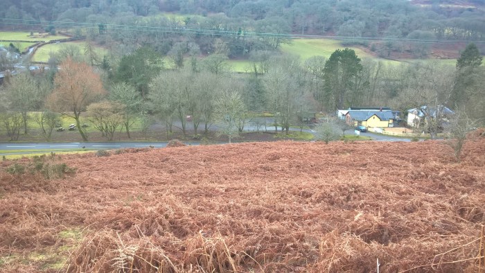
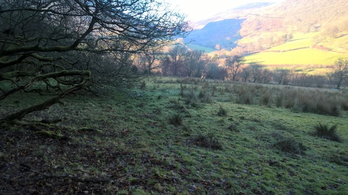
At the brow of the hill is a view that was breathtaking even with low cloud – hiding at the back are the magnificent Black Mountains and the edge of the Brecon Beacons.
From here wander down the hill, soon you will see Erwood Station on your right. Our adventurer wanted to run down this muddy hill… mummy very nearly slid down!!
When you reach the tarmac road turn right and you will see the car park and picnic benches of Erwood Station.
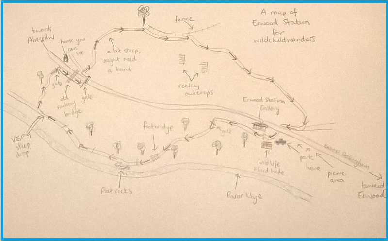
Use this map to guide you on your way. Click to enlarge.
Click on the map below to view it on ViewRanger.
The map reference is SO 089438
Erwood Station is home to Erwood Station Gallery where you can find parking, a picnic area, toilets and a tea room along with a gallery and shop.
Directions: From Erwood, head towards Builth Wells. On exiting the village take the first right following the brown tourist sign for Erwood Station. Continue on this road, over a bridge, around a sharp left hand bend and Erwood Station is on your left.
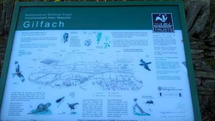
Oak Wood Path is a gentle, hillside, circular wander through the fields and woodland of a Radnorshire Wildlife Trust Nature Reserve. This sign-posted trail is quite sheltered so is a good choice for a drizzly day but come in the sunshine to see fabulous views of the Cambrian mountains. The Byre visitor centre at Gilfach farmyard has parking, toilets, a picnic area and drinks and snacks with an honesty box. There are a number of longer walks on the site if you’re looking for more adventure.
Oak Wood Path, Gilfach
Distance: 3/4 mile
Time: around an hour
Guide
From the car park take the gravel footpath to the right, past the toilets, onto the farmyard.
There is a useful information sign here, along with the Visitor Centre and Byre; where you can find drinks and snack with an honesty box.
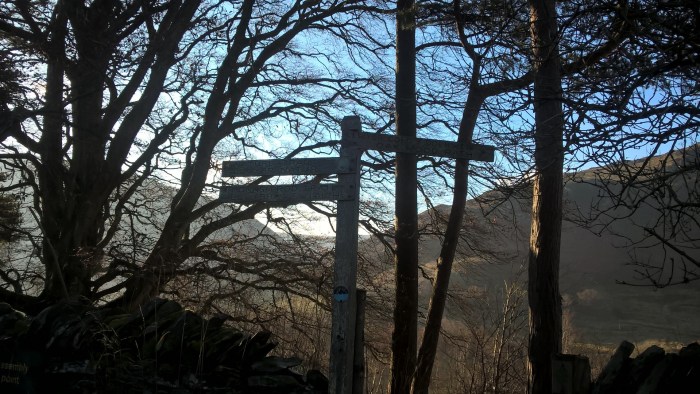
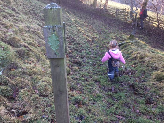
Follow the signpost “Oak Wood Path” to the right, along the path to the next gate.
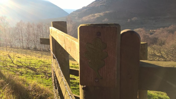
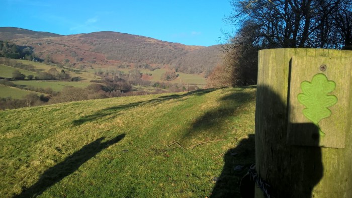
Keep an eye out for the Oak leaves to guide you on your way…
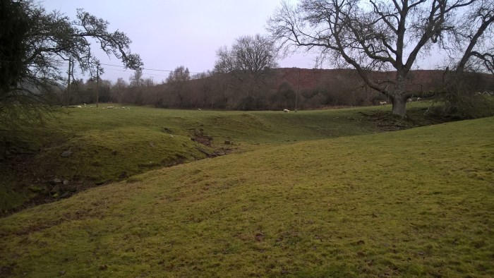
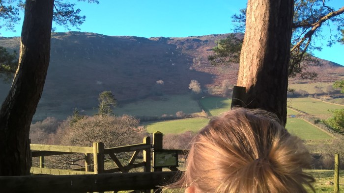
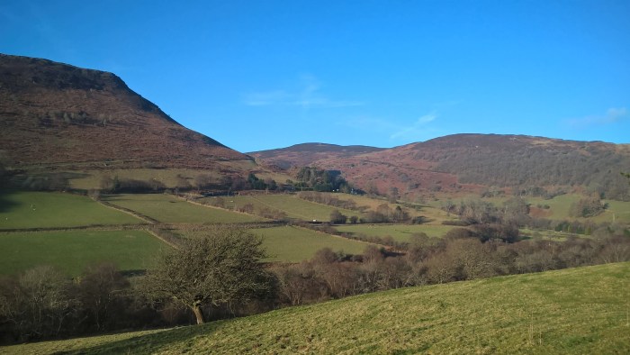
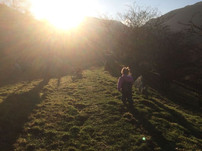
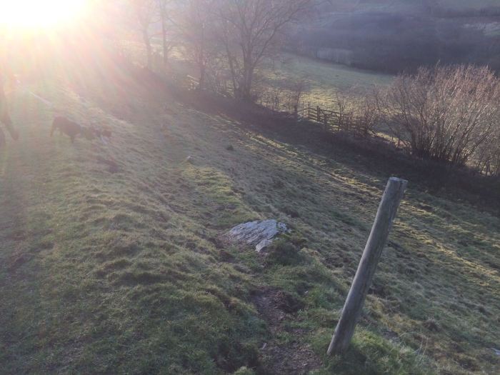
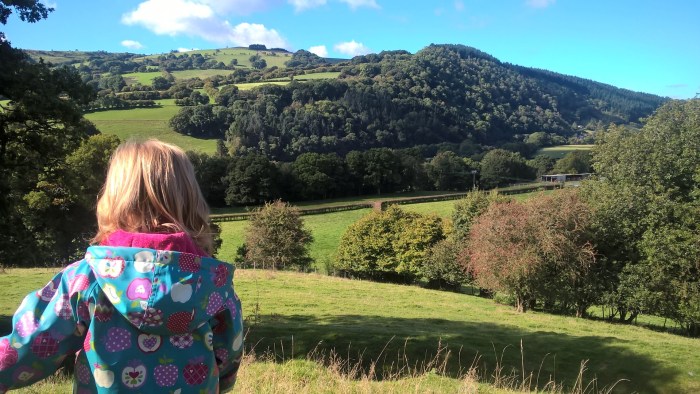
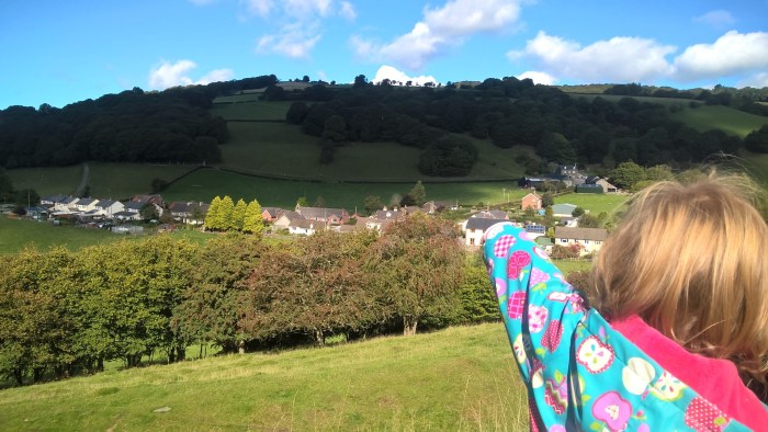
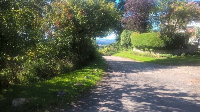
Turning right, follow the trail along the top of the field. Take a moment to stop and look at the fantastic hills all around.
At the next Oak leaf continue down the hill, looking out for another leaf and a gate about half way down.
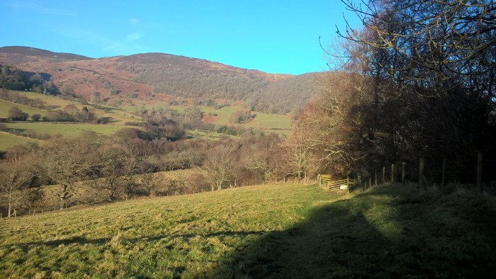
Follow the path up the hill to the right of the small tree; there’s an Oak leaf part way up to make sure you’re on the right track.
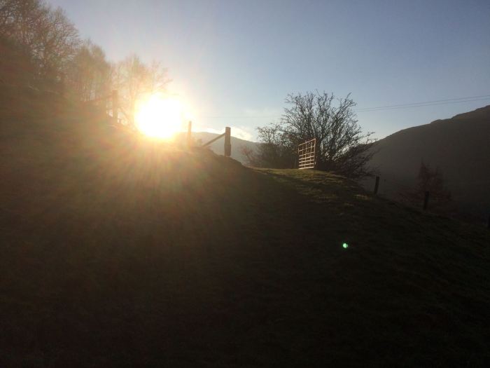
At the top, continue left up the hill to this gate…
.. glancing behind to to take in the view.
Follow the track into the woods…
.. bearing left at this junction.
Round a corner and straight ahead until you come to this gate on your left.
From this gate you are turning back the way you came, through the fields.
Looking out for the Oak leaves…
… and toddlers hiding in the grass (refusing to leave the long grass)!!
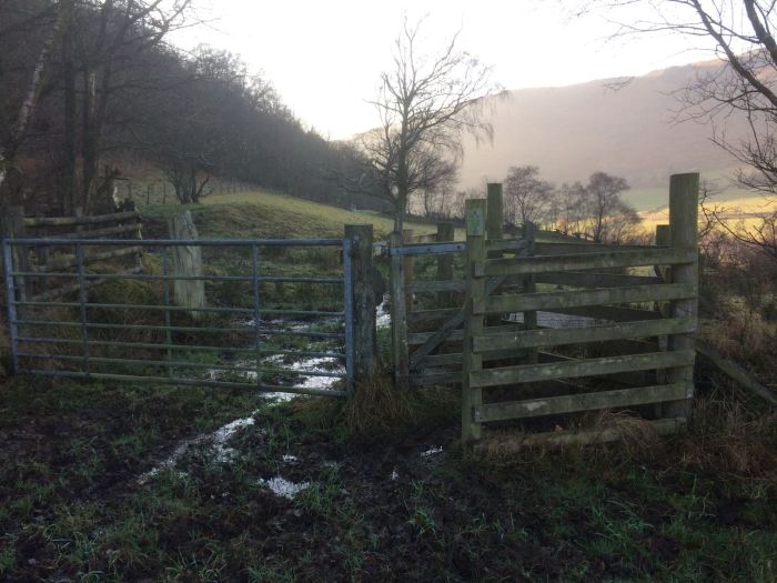
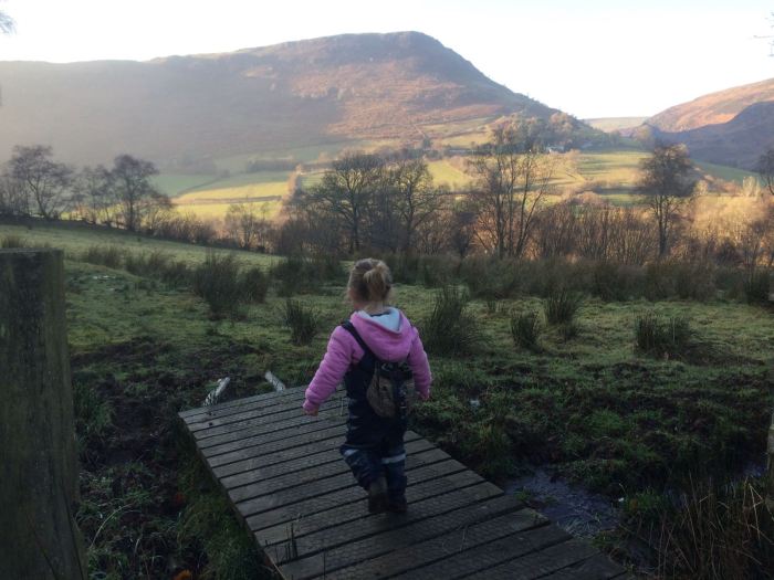
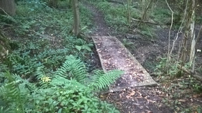
Next you’ll come to a gate with, if the weather’s been wet, lots of squishy mud and a fun boardwalk bridge.
Continue through the next field.
And the next…
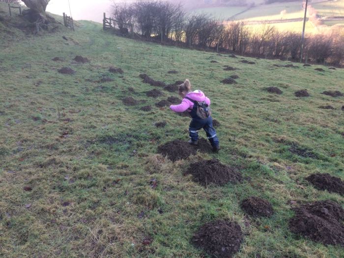
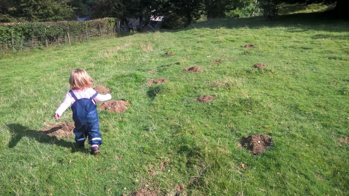
Our adventurer had lots of fun jumping in mole hills… squishy!
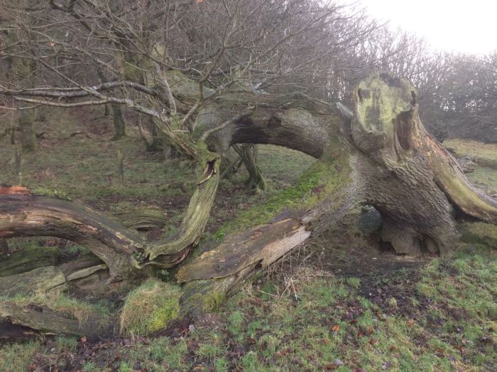
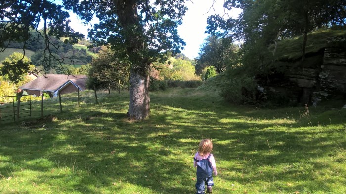
This fantastic tree is just crying out to be played in, on and under and over..
Carry on up a small hill, looking out for the Oak leaves…
Through the gate and back onto an earlier track.
Heading down the slope; you might need to hang on to your adventurer here as it’s a bit narrow and steep.
Through the gate at the bottom, turn left and head back through the field to the car park.
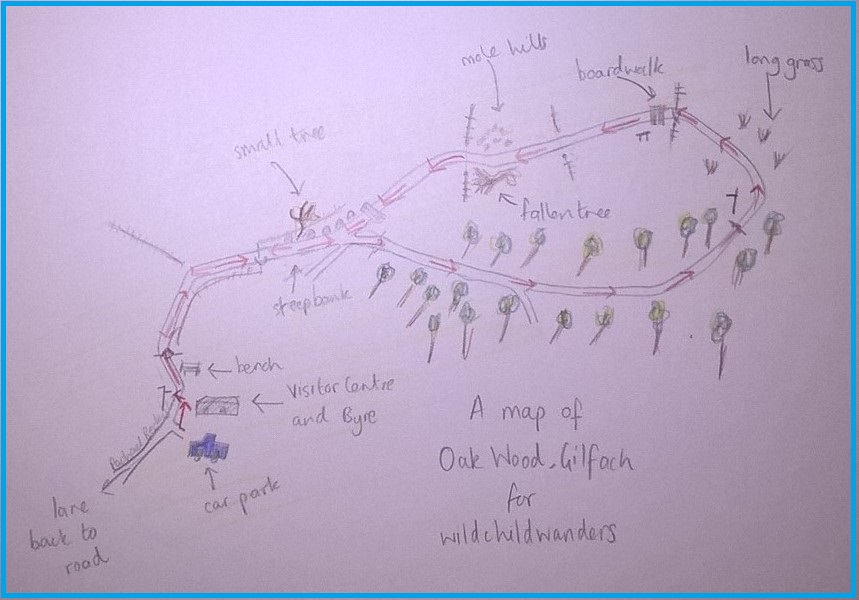
Use this map to guide you on your way. Click to enlarge.
Click on the map below to view it on ViewRanger.
The map reference is SN 964 717.
Gilfach Nature Reserve is a Radnorshire Wildlife Trust site and they have some great information on their website including a leaflet about the site which the following directions are taken from.
Directions: 3 miles north of Rhayader and 7 miles south of Llangurig just off the A470 , signposted for St Harmon. Look out for the brown tourist signs. Drive through the nature reserve, turning right to get to the old farmyard where there is a small car park, visitor facilities and short walks.
The Wern walk is a well surfaced, way-marked, forestry wander that begins and ends at the Garwnant Visitor Centre. It takes you both through trees and along a more exposed track so make sure you wear layers if it’s wet or windy. The distance means that younger adventurers may need a break or a short ride in a carrier to rest their legs. However, the terrain is not challenging and would suit off-road pushchairs (as long as you don’t mind going though a stream…) At the visitor centre there is parking, a cafe and a playground as well as a much shorter 1/4 mile puzzle trail.
Wern Walk
Distance: around 2 miles
Time: 2 hours – a bit longer if you stop and play
Guide
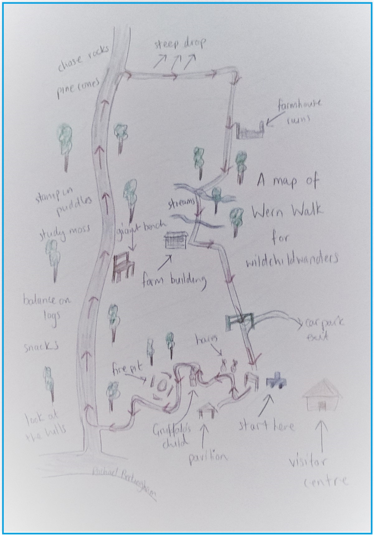
From the car park go through the archway with the green foot signposted Wern Walk.
Keep an eye out for the posts with information about trees and their leaves and head up the path, past the pavilion and around to the right..
Continue on this path, past the fabulous carved hares, and turn right at this post following the green footprint.
Take a moment say hello to the Gruffalo’s child…
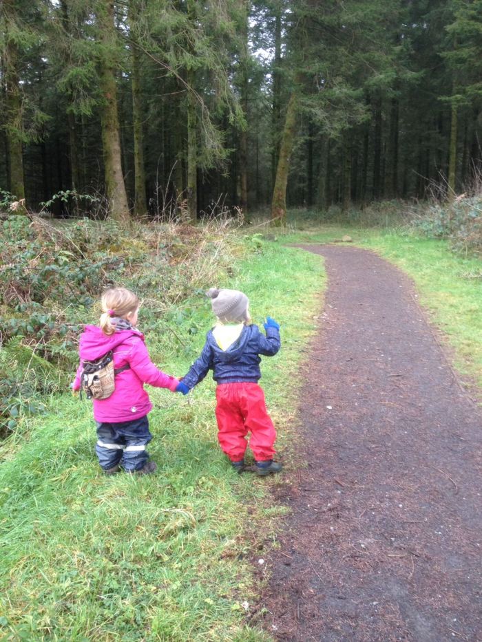
.. then grab a friend and wander into the deep, dark wood…
On entering the woods follow the path around to the left and past a pretty cool looking fire-pit.
Keep following the path and the way-markers…
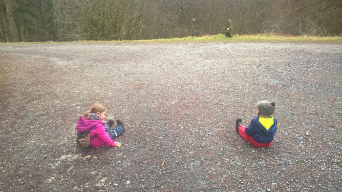
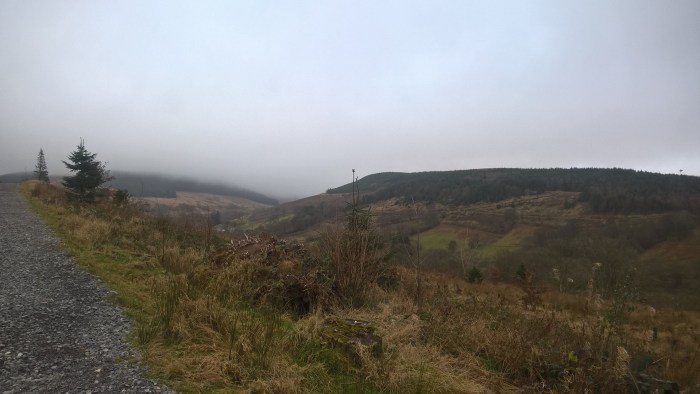
Until you reach a wide, stoney forestry track.
Our adventurers decided here was a good place to have a sit-down (definitely bring snacks on this walk!).
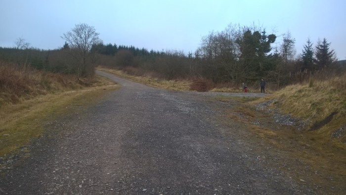
Turn right, following the signs, and wander up the hill into the forestry.
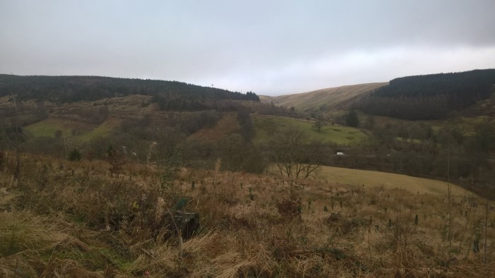
This part of the walk may seem a bit monotonous, but with a bit of imagination it can be turned into an adventure. We; looked for pine-cones, chased rocks, threw stones to splash in ditches, stamped in puddles, studied moss, listened for streams, climbed onto a fantastic view point bench, looked at the hills in the distance, ate snacks and balanced on fallen trees.
This slideshow requires JavaScript.
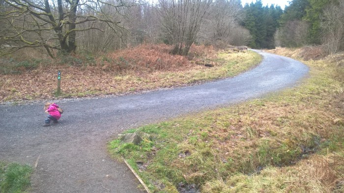
When you have gone up a hill, along the top and down again you’ll arrive at this junction – green footprint way-marker here too.
Turn right down a narrower stoney track. There’s quite a steep drop on the left hand side here. Follow this path downhill, around to the right and past a ruined farm.
Remember to look around at the beautiful scenery of the Brecon Beacons.. stunning even with low cloud!
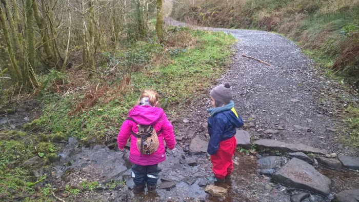
Down the hill, back into the forestry and into a stream – lots of splashing opportunities, I struggled to drag my adventurer away! If you’re doing this wander with a pushchair it really needs to be suitable for off-roading.
Further along the trail there’s another small stream for yet more splashing! I have found a toddler can never have too much splashing…
This track continues through the trees, past a farm building and down to a tarmac road.
Turn right on the tarmac road, this leads back to the visitor centre car park. Be aware that cars use this road to exit the centre.
Keep an eye out for chopped down trees, great for counting the rings to see how old the tree was.
Use this map to guide you on your way. Click to enlarge.
Directions (courtesy of Natural Resources Wales): Garwnant Visitor Centre is located just off the main A470 between Brecon (14 miles to the north) and Merthyr Tydfil (five miles to the south). It is well sign posted with brown tourism signs from the A470. The postcode for satellite navigation is CF48 2HU.
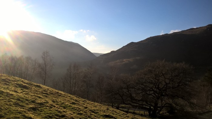
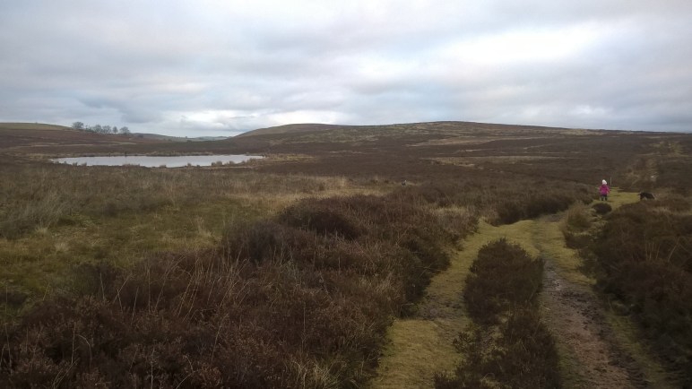
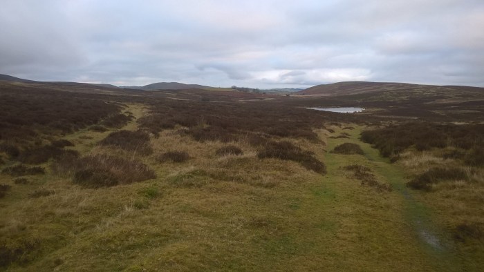
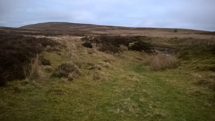
Llyn y March is a wild, undulating, moorland wander with fabulous views across the Wales/England border country. It is exposed and open on the hilltop so remember to dress for the weather and wait for a clear day if you want to see the Black Mountains and Brecon Beacons standing tall in the distance. In the summer you could take a picnic and sit by the sheltered lake to take in the scenery. There is off road parking on grassy ground and lots of other tracks to explore if you’d like to adventure further; remembering a map and carrier for those little legs.
Llyn y March
Distance: almost 1.5 miles
Time: around an hour (a little bit longer if you stop at the lake)
Guide to Llyn y March
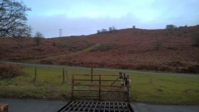
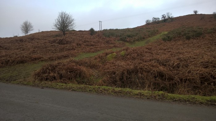
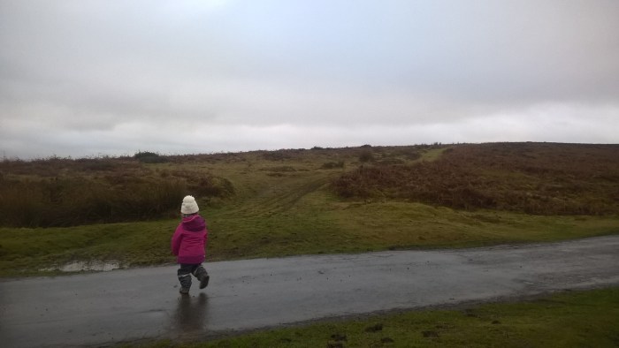
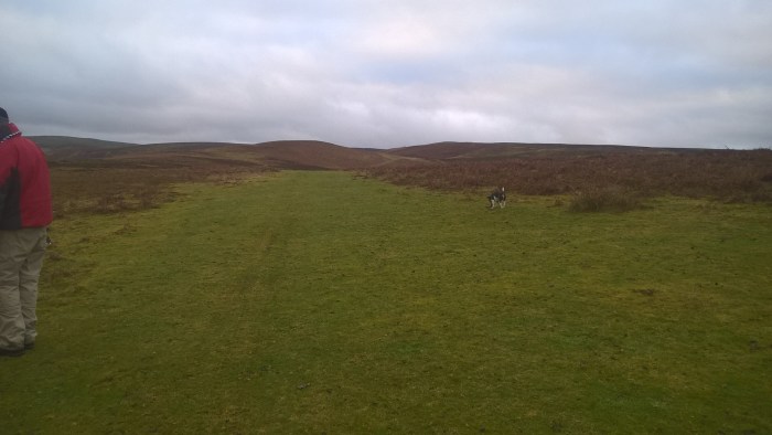
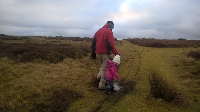
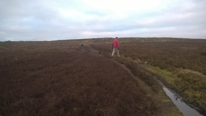
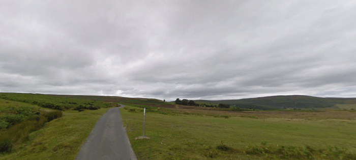
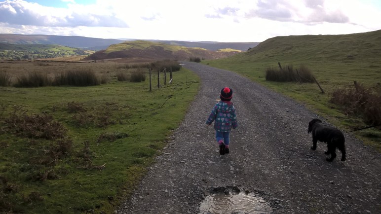
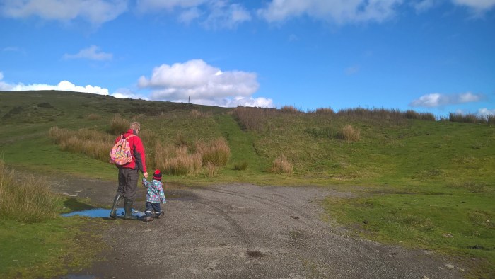
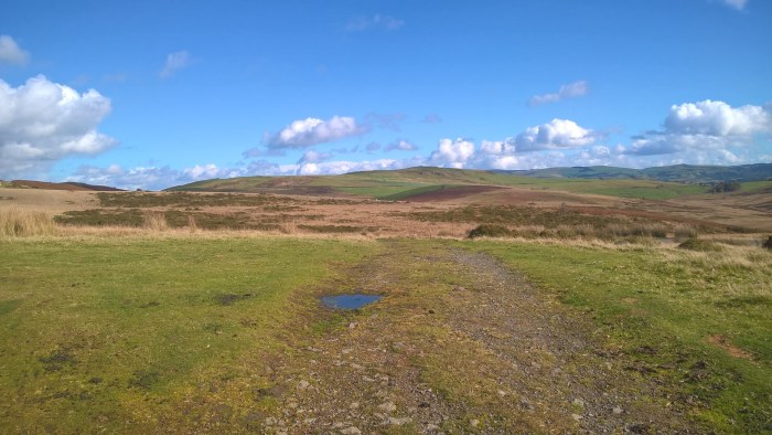
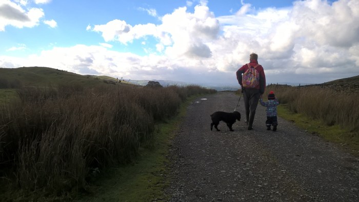
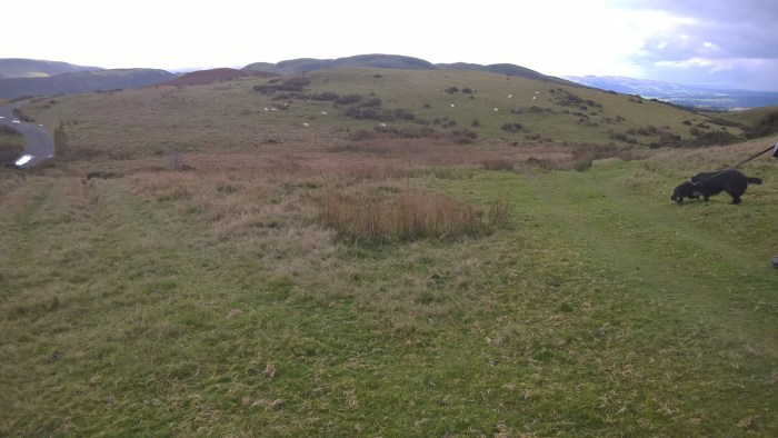
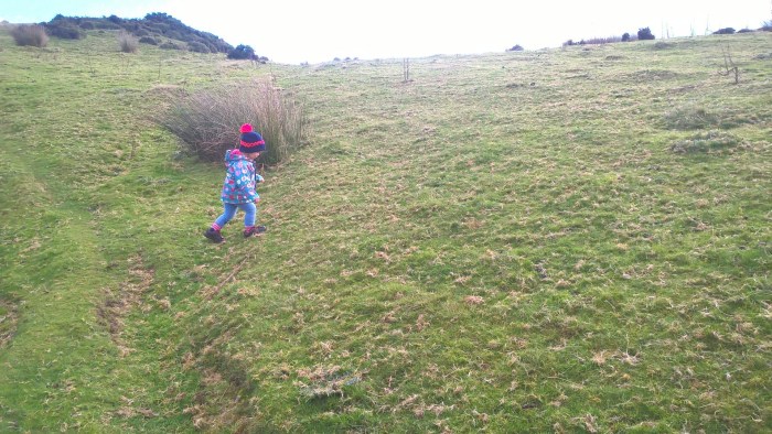
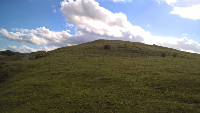
From the parking area; cross the road and wander straight up the grassy track opposite, heading up the hill.
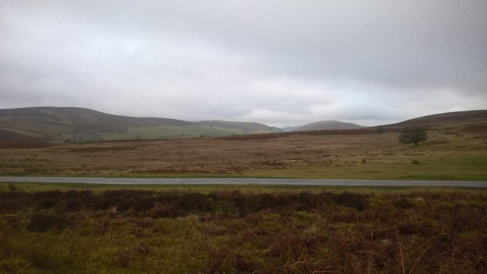
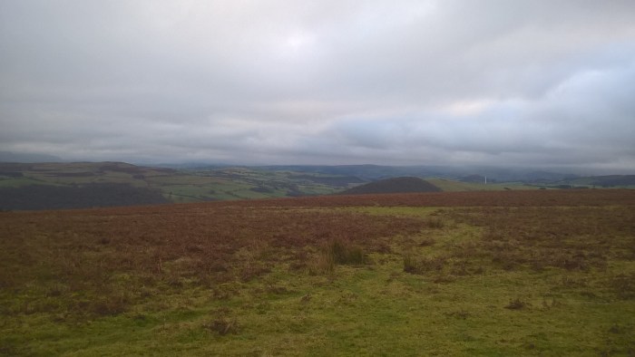
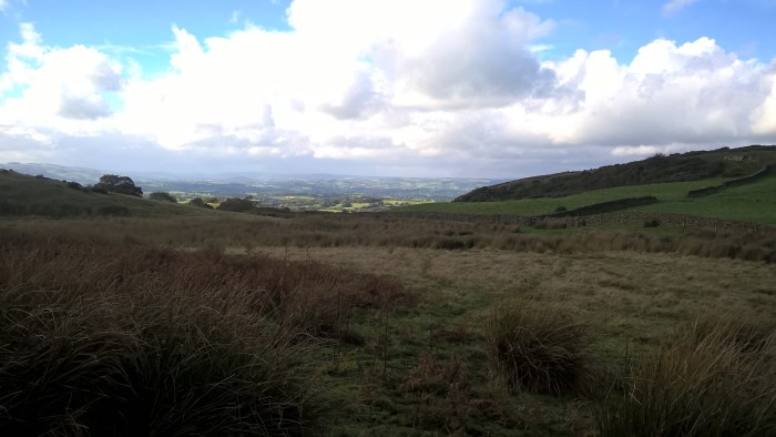
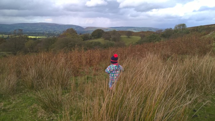
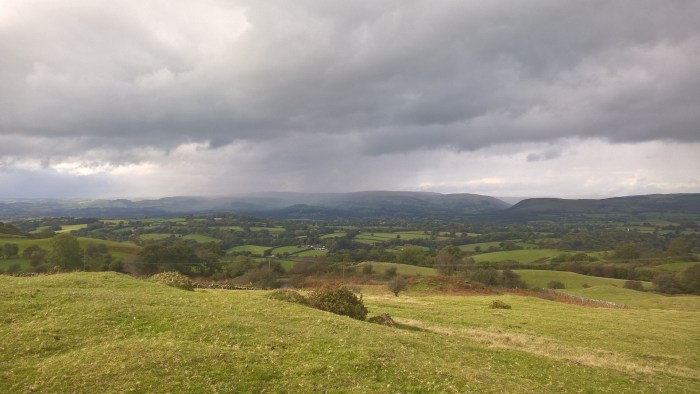
It was a cloudy when we ventured out on our wander so you might need to use your imagination a bit (or plan your wander for a clear day!)… but in the distance you can see…
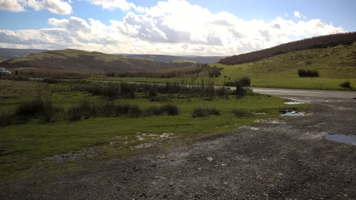
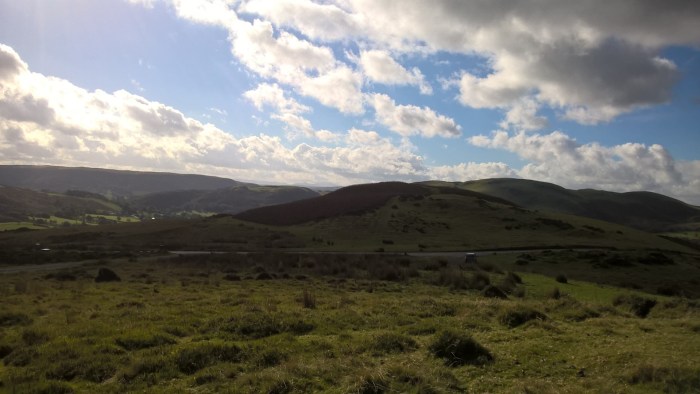
Herefordshire..
..the Brecon Beacons
and the Black Mountains.
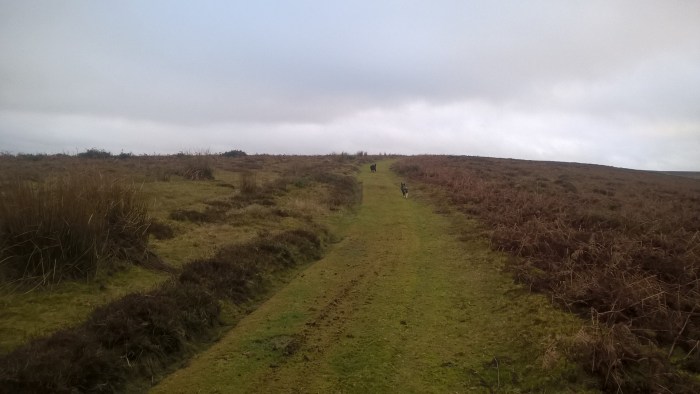
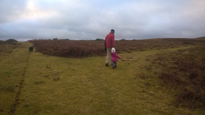
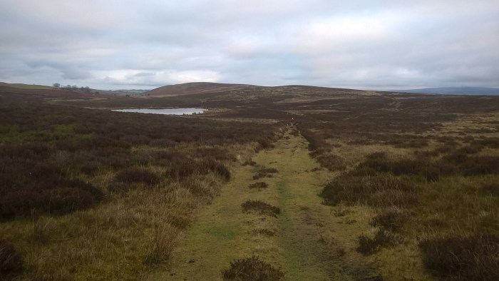
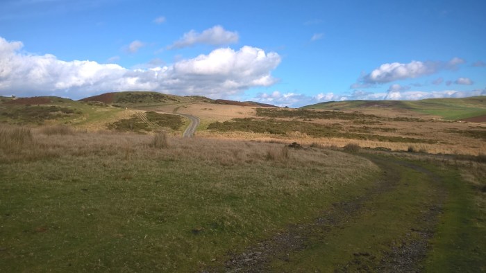
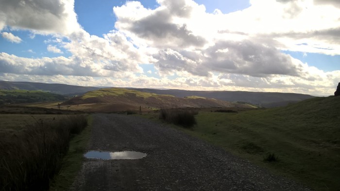
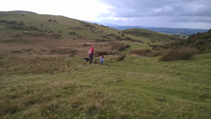
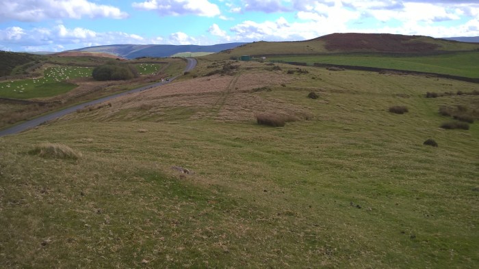
Continue on the grassy track and over the brow of the hill.
There are some smaller tracks leading off to the sides – don’t take them.
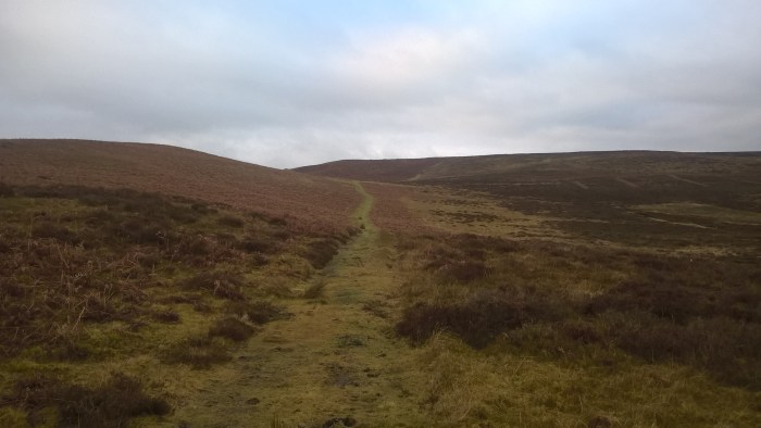
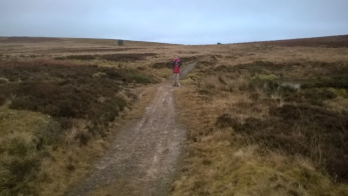
Stay on the main grassy track, heading straight on, until this junction.
Follow the main track around to the left..
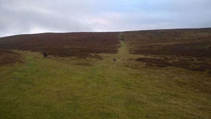
.. and then take the fist right hand track.
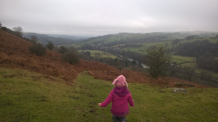
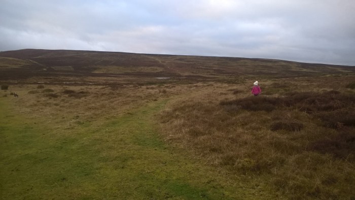
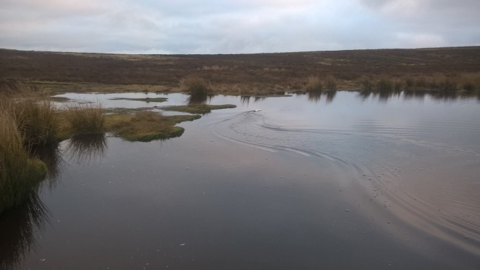
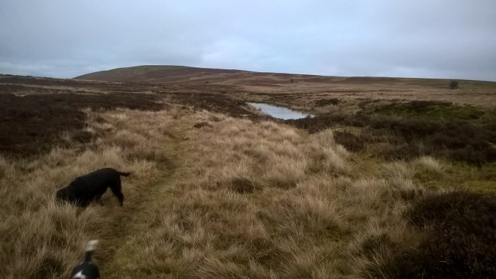
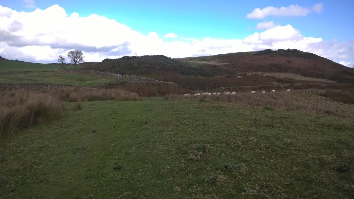
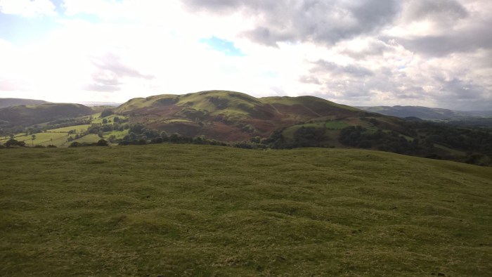
If you look across to your right you’ll see Llyn y March in the valley below.
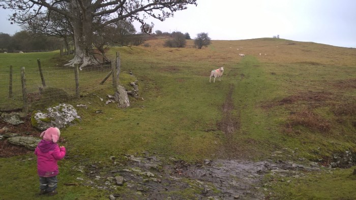
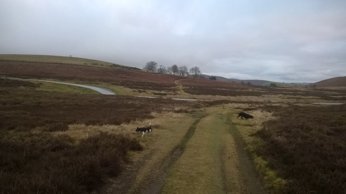
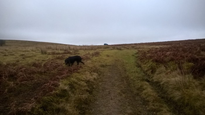
Our adventurer had a great time looking in the grass; we’re not sure what for!
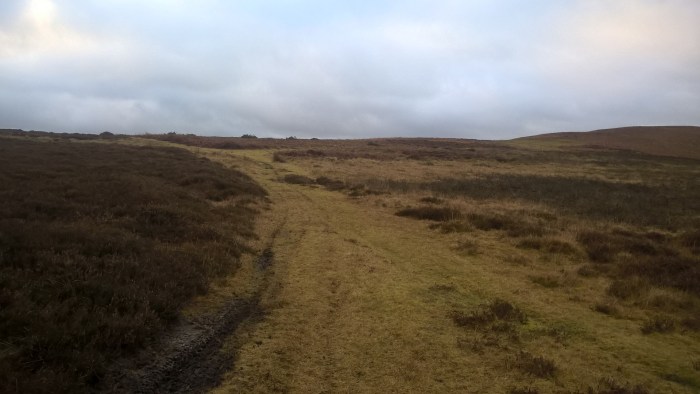
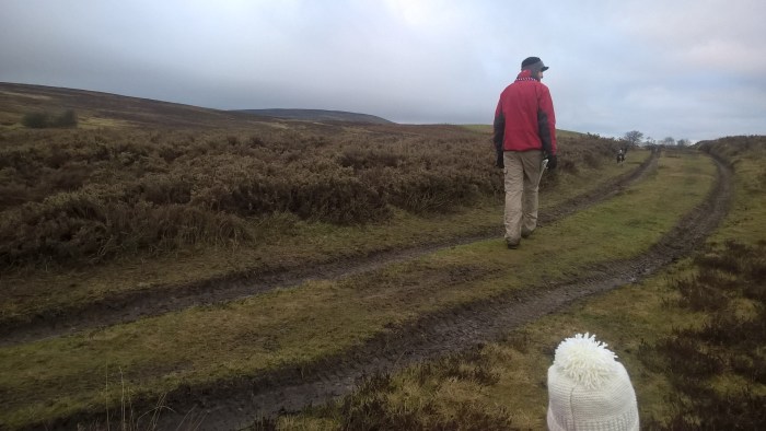
Keep wandering along the grassy track, up the gentle slope, along the side of the hill.
The track levels out at the brow of the hill and there is a big junction with lots of tracks meeting.
Take the lower right hand track that heads down towards the lake.
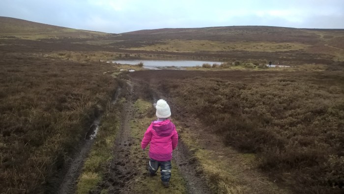
Follow this track down into the valley and around the lake.
As you begin to go up a small hill there is a track on your left leading down to the lake.
Here we met a lovely family with a remote control boat and spent a while watching it – the dogs were especially interested! We imagine this would be a great picnic spot in the summer.
When you have had your fill of lake adventures head back up the way you came and turn left at the main track.
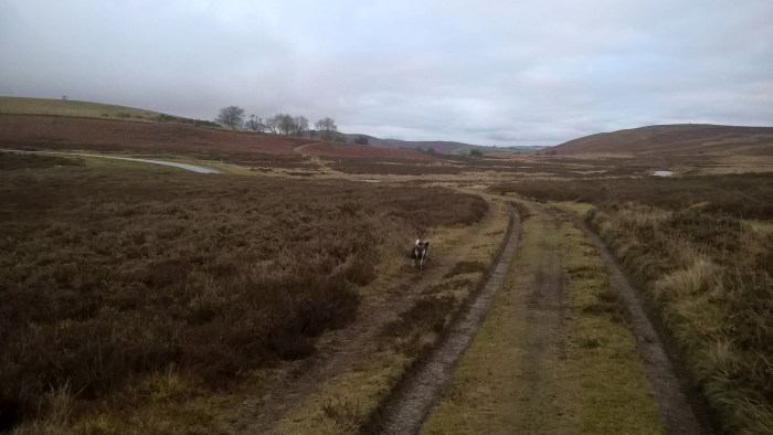
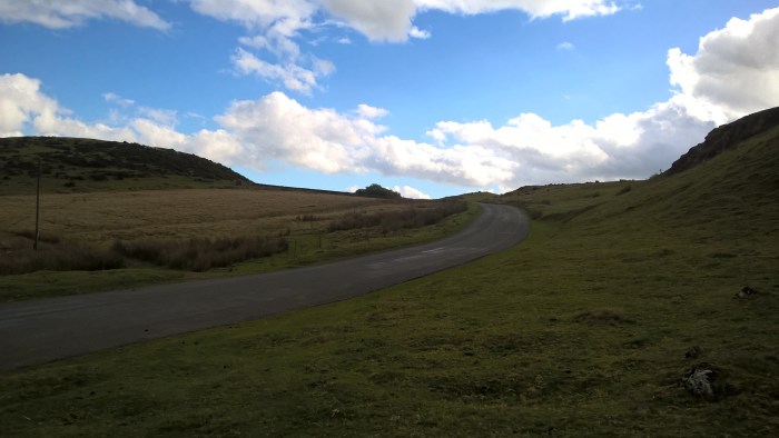
This track will bring you back towards the road.
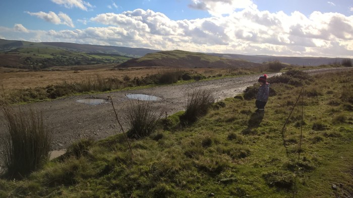
If you wish you can turn right and walk back up the road to the parking area. If you’d like a little bit more adventure then cross over the road and take the track to your right.
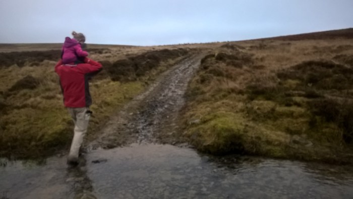
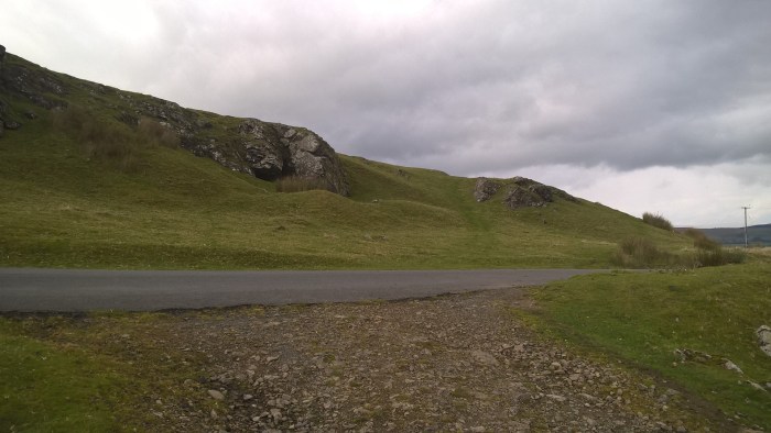
Continue along the grassy track until it goes down a dip, and then take the smaller, rougher track that goes off to the left which will lead you around the edge of another small pool.
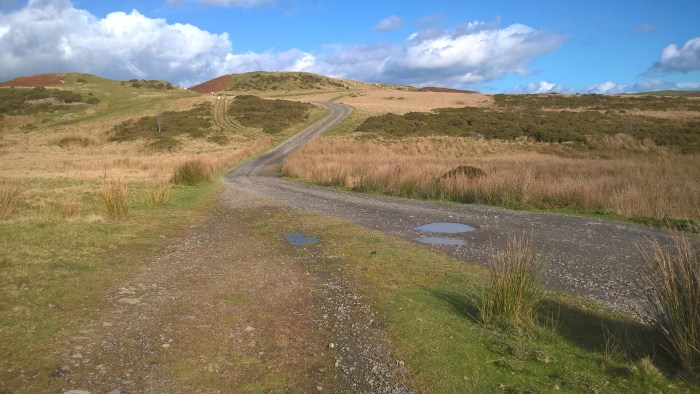
Turn right at the stoney track and cross the small stream ( apologies for the quality of the following photos, operator malfunction…)
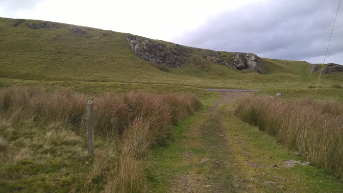
The parking area is visible at the top of the hill, keep going straight on!
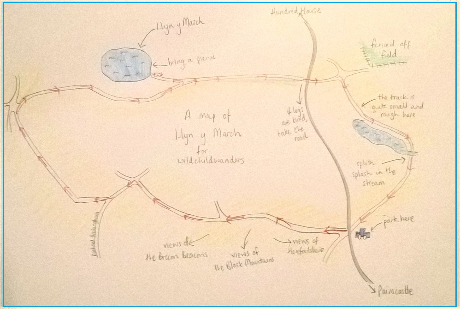
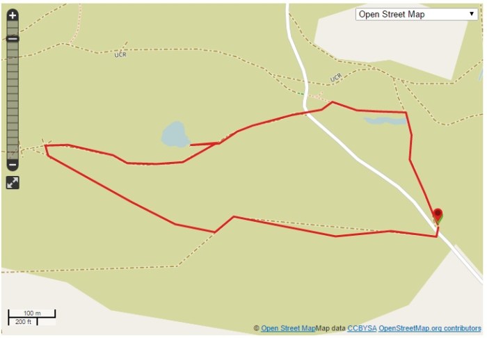
Use this map to guide you on your way. Click to enlarge.
Click on the map below to view it on ViewRanger.
The OS grid reference is SO 151 479.
This wander is located on Llanbedr Hill (also called Painscastle Hill), which is common land.
Directions: from the B4594 in Painscastle take the road signposted ‘Hundred House 7 miles’, next to the Roast Ox Inn.
After around 1.5 miles the fenced fields on your left end and open out into hillside.
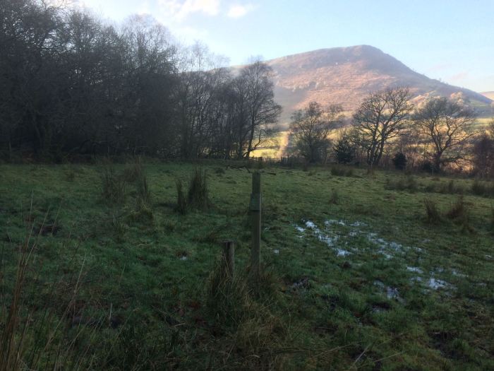
Travel up a small hill and you will see a metal pole with a sign on your right and the grassy parking area.
Rhogo is a hilltop wander with the most breathtaking views of Powys; Pen-y-Fan, Radnor Forest, Aberedw Hill and the Cambrian mountains are all visible on this wander. Its hilltop position means it is exposed so this is not a walk to try out in the rain and on a windy day you will definitely need extra layers. There is solid off-road parking for a number of cars and the shorter wander is suitable for off-road specific pushchairs. If you’d like to adventure further then take a map as there are lots of tracks to explore.
Rhogo (pushchair walk)
Distance: just under 1 mile
Time: around 30 mins
Rhogo (longer walk)
Distance: just over 1 mile
Time: about an hour (maybe leave a bit longer if you’ve got a meanderer!)
Guide
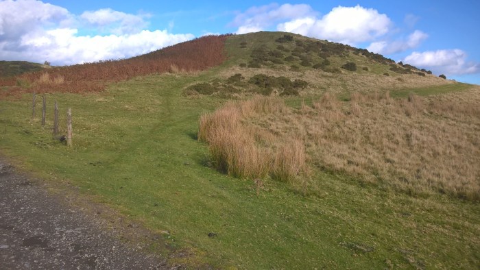
To begin walk up the stoney track to the rear of the parking area and follow this over the brow of the hill.
Keep looking all around you – if you look behind on a clearish day you can see Pen-y-Fan popping up between the hills. (If you look very closely you can see below!)
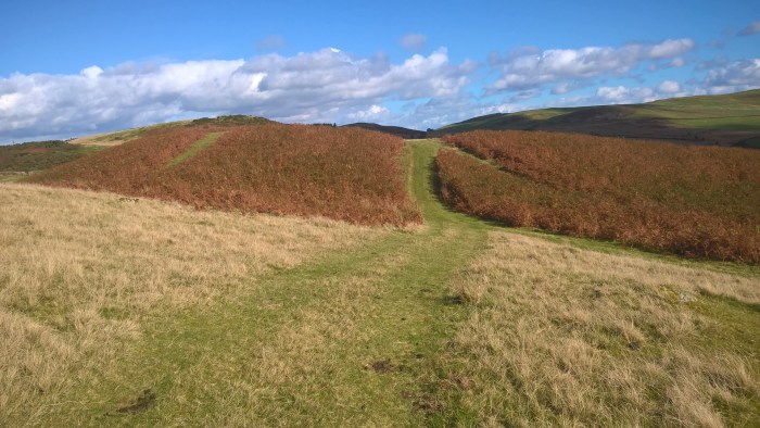
Follow the stoney track over the hill until it meets with another stoney track, go straight on and continue up a little hill and around a bend.
At this junction turn right onto the grassy tracks and follow the lower, right hand fork.
Follow this track up and down a steepish bank…
… take the left hand fork, go down the hill….
…reaching a stoney track at the bottom.
Turn left and follow the stoney track past a house…
… and around a bend, where you will find yourself back at the junction where you turned onto the grassy track.
If you are doing the pushchair walk then you should keep going straight on and head back to the parking area along the stoney track.
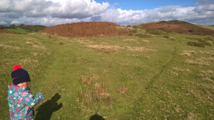
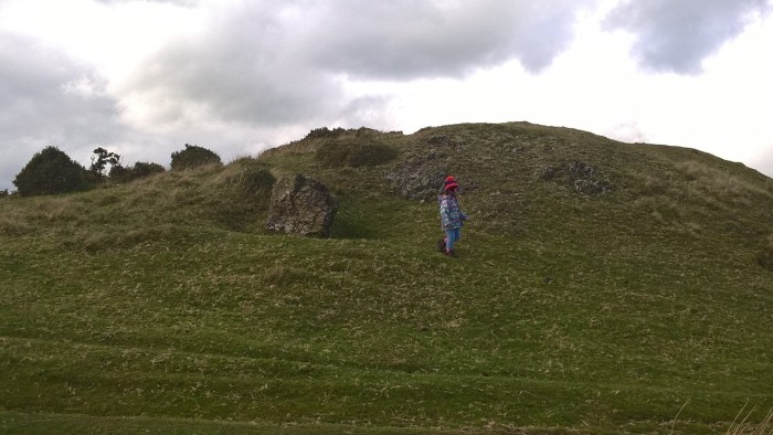
For the longer wander you should step right onto this bumpy, grassy trail and keep to the right going around a small mound.
Our adventurer stopped for a play on the rocks.
The track is quite uneven for a short while so your adventurer may need a hand.
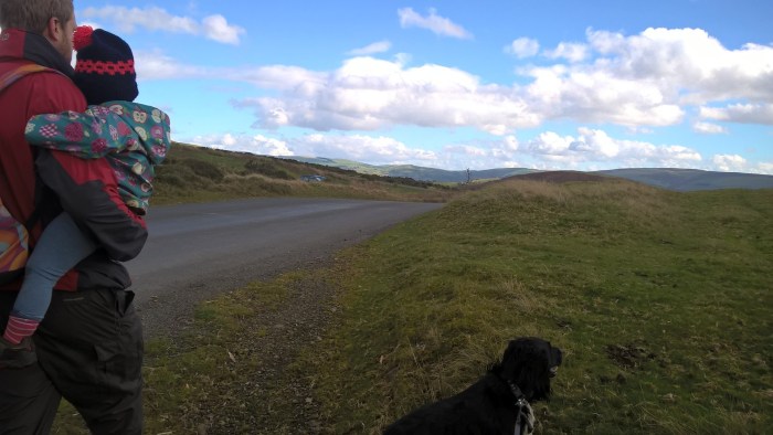
When you reach the stone wall turn left and carry straight on all the way to the road.
If your adventurer is a bit tired then you can now head back a short distance up the road to reach the parking area. Be aware that this road is well used to keep to edges and watch out for traffic.
If you’re up for some more amazing views and a short, steep uphill section then cross the road and head up the grassy track between the rocks; slightly to the right in the picture below.
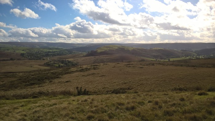
When you reach the top of the hill turn left and walk along the ridge.
And look at the views!!!
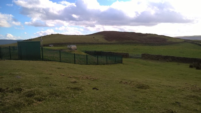
On reaching the green fencing turn right, towards a gate, and follow this track alongside the wall…
… which will bring you out almost opposite the parking area.
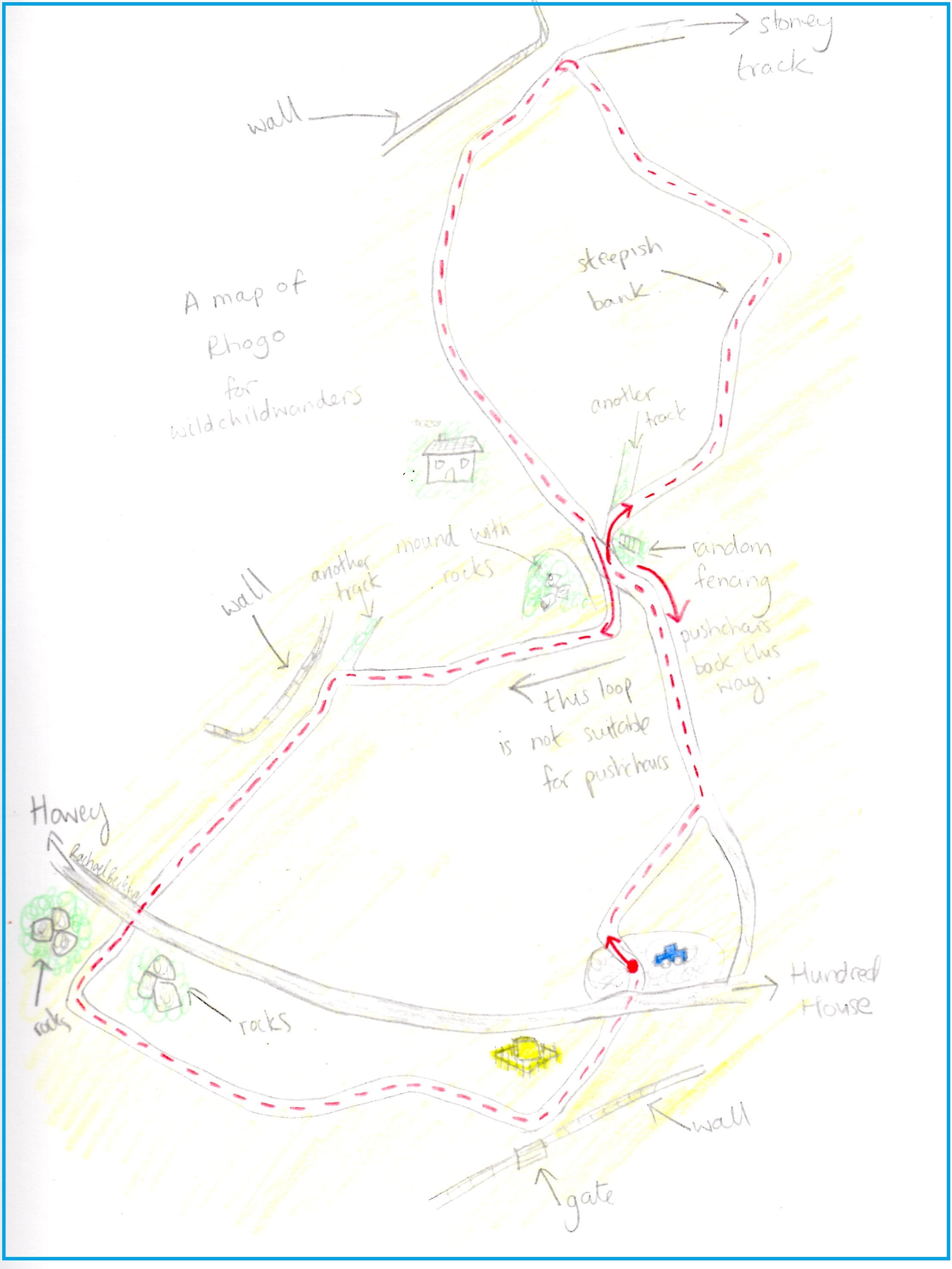
Use this map to guide you on your way. Click to enlarge.
Click on the maps below to view them on ViewRanger.
The OS Grid Reference is SO 079 568.
Rhogo (pushchair walk)Rhogo
This wander is located on common land in between Llandrindod Wells and Hundred House and the stoney track used is a driveway so do keep an eye out for cars, they won’t be going fast!
Directions: From Llandrindod Wells take the A483 towards Builth Wells. In the village of Howey take a left hand turn signposted for Hundred House. Drive along this road for approx. 3 miles. The parking area is located at the top of the hill on your left, after you have crossed a cattle grid.
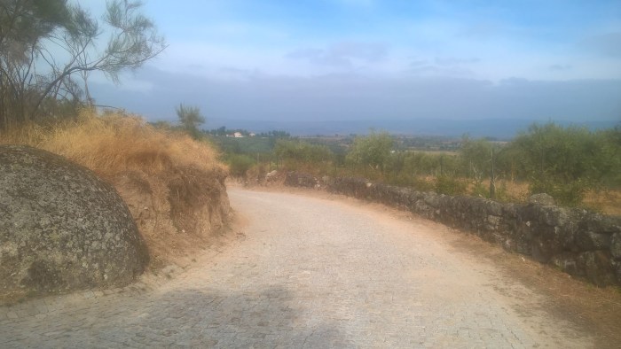
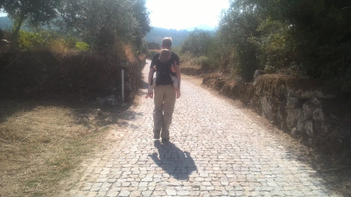
Our Mélo wander is a beautiful meander around the picturesque Estrela Natural Park area using tracks through olive groves and small local roads. This walk is a little longer than usual so we would recommend taking a carrier if your adventurer has quite little legs. This circular wander begins and ends at Honey House Stables where we stayed during our time in central Portugal, however it is also possible to wander from the village itself.
Mélo
Distance: just over 2 miles
Time: around 2 hours including a snack stop (and lots of pauses to look at ants…)
Guide
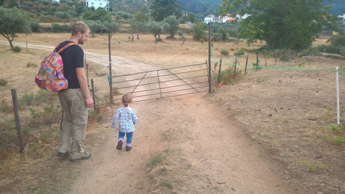
From Honey House Stables head out through the gate and along the track.
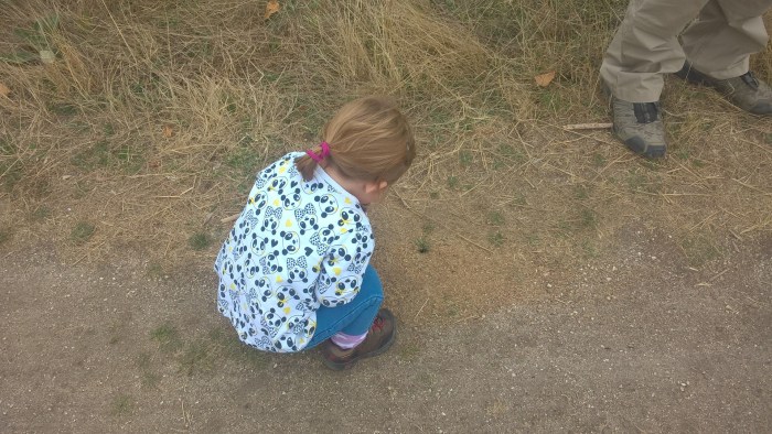
It took us a while to walk this short distance as our adventurer LOVED the huge ants and spent ages crouched down. We ended up walking ahead to “find more ants” for her to look at!
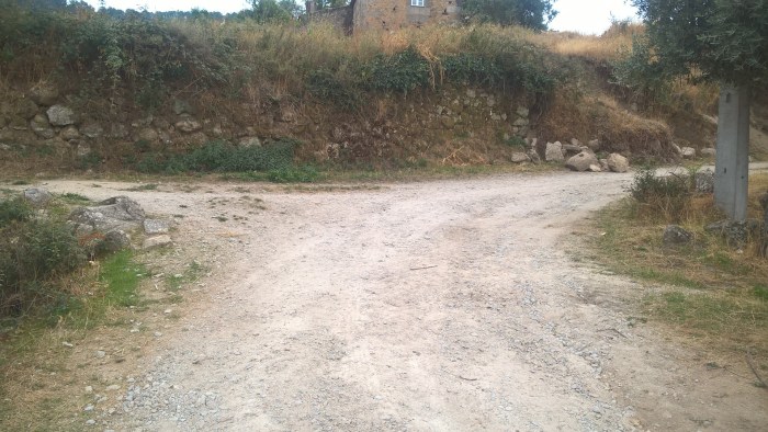
At the junction take the left hand turn, along the track and past some farm buildings.
Keep an eye out for other road users…
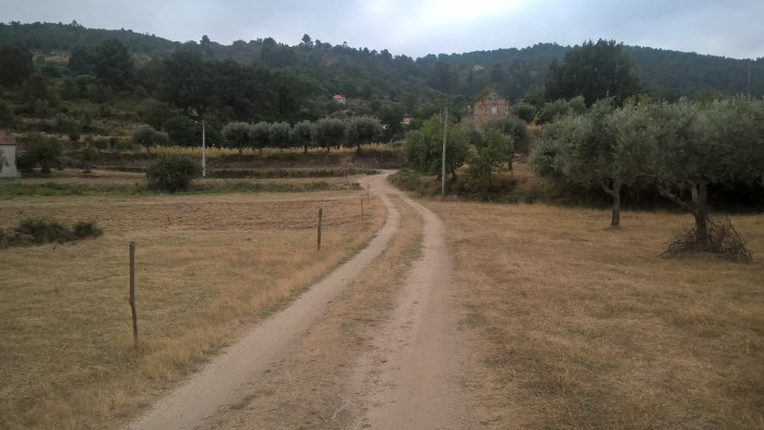
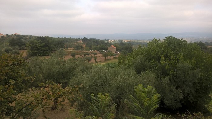
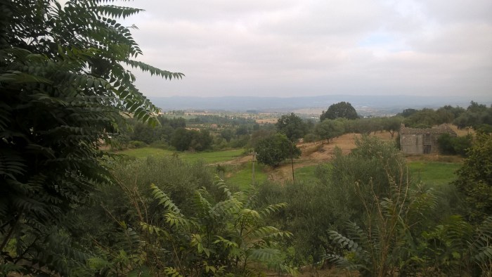
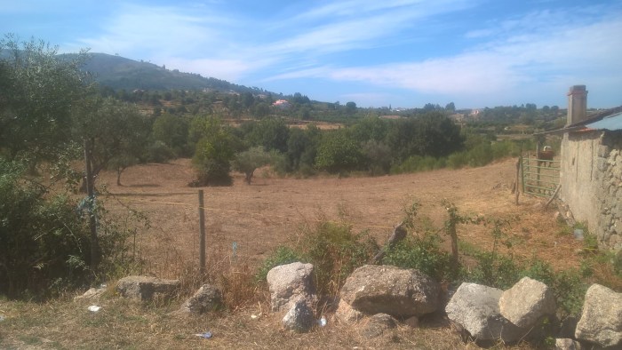
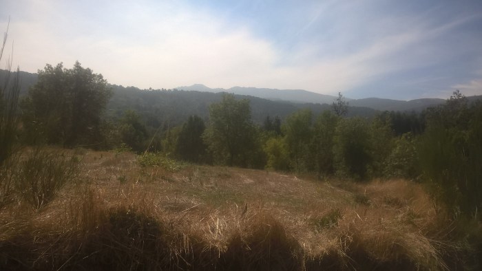
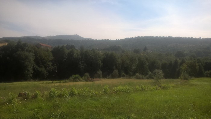
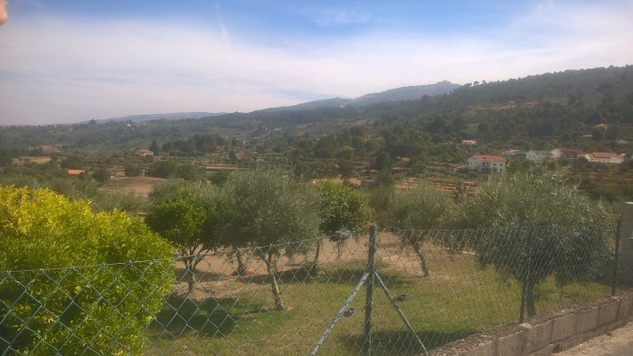
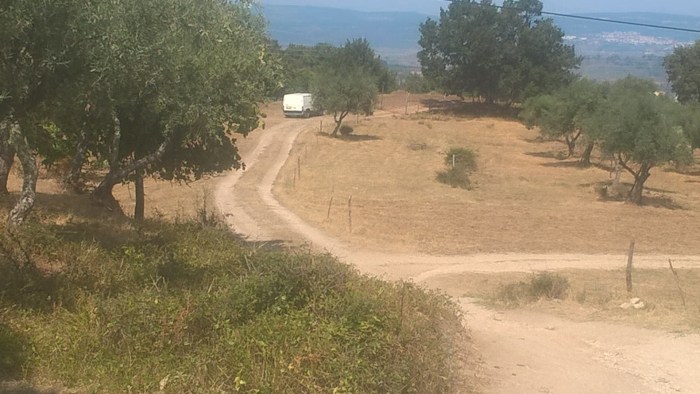
Take a moment to stop and look at the views to your left across to the mountains.
Continue along the track until you come to a road.
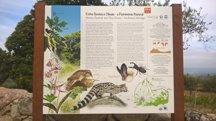
At this junction is a useful information sign with an explanation in English.
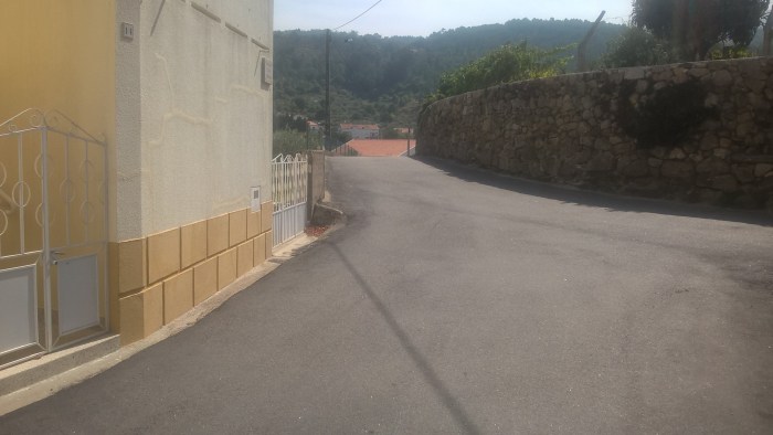
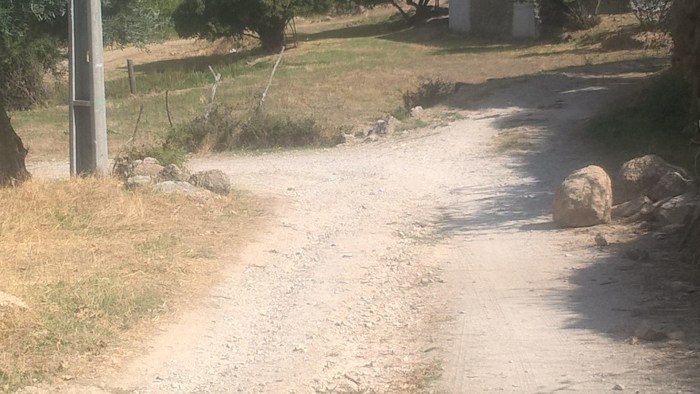
Turn left, down the hill, and keep following the road…
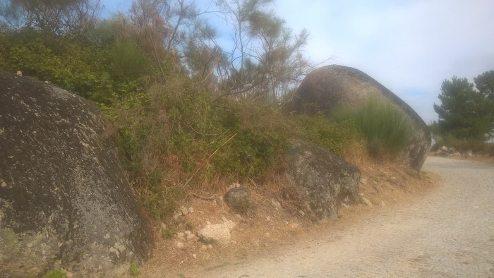
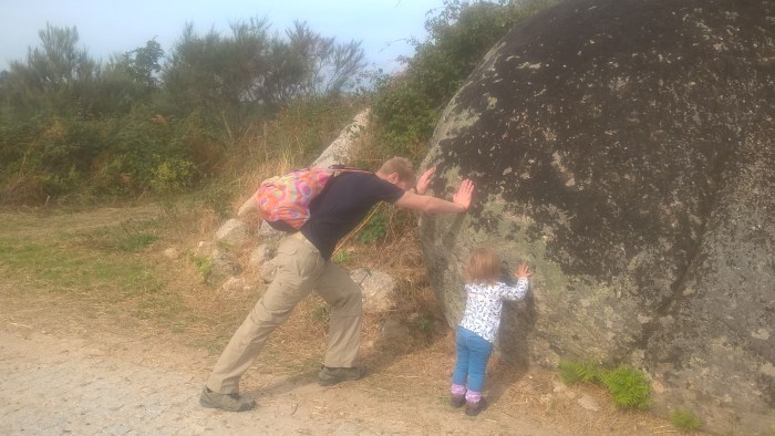
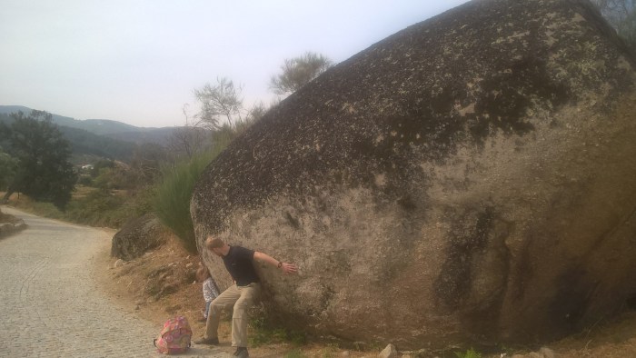
Until you come to some HUGE boulders. These were amazing and our adventurer (and Daddy) had lots of fun playing on them.
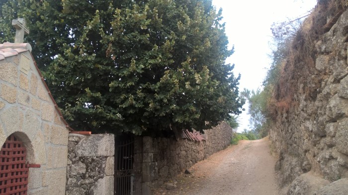
As you continue along the road you will arrive at a collection of building including a church.
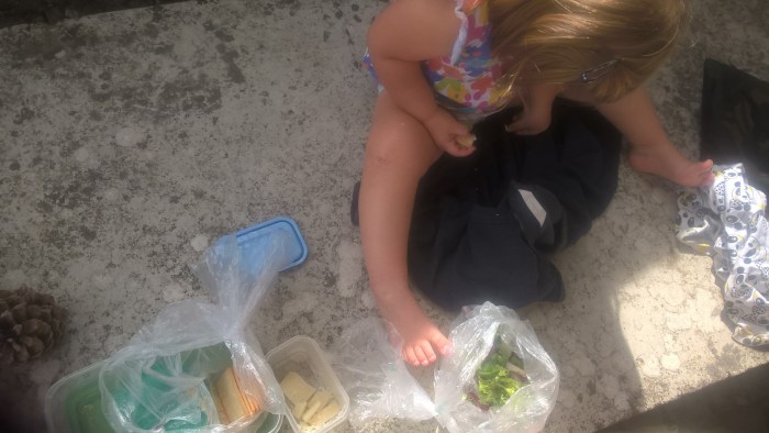
This is where we stopped for a snack.
Then we went back in the direction we came from, saying hello to the cows.
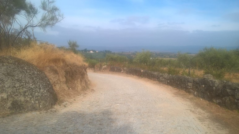
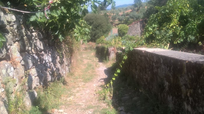
Just after the stone wall begins on the left (see pic below) there is a track on the right. Take this track.
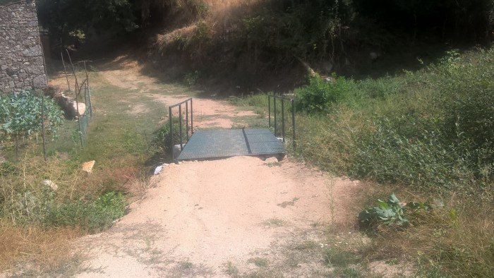
Follow this track down a hill and over a foot bridge.
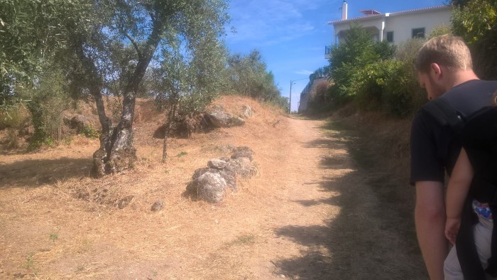
And then up a hill and back towards the village.
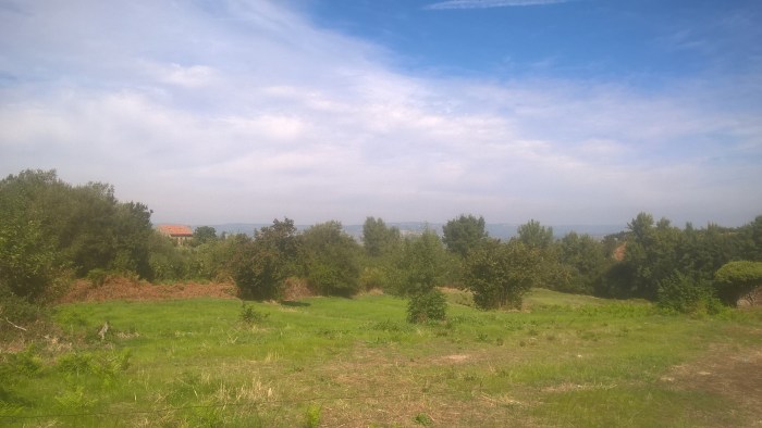
There are lovely views everywhere on this wander, just look around!
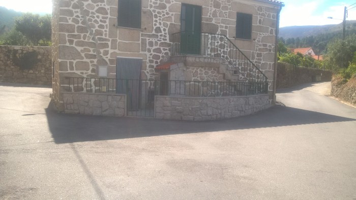
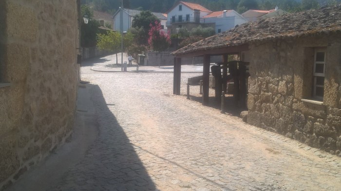
When you come to the village turn left and walk up the hill.
At this building keep left.
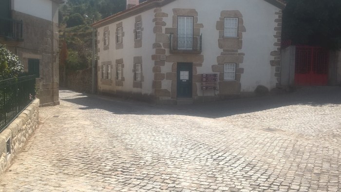
At this junction turn left.
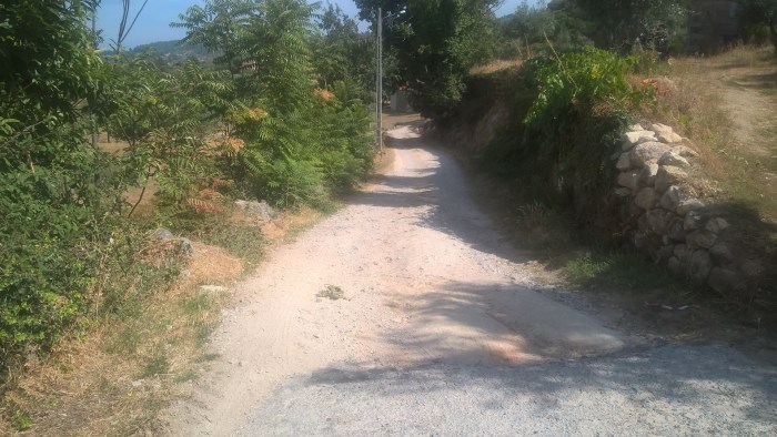
And down this road…
When the buildings on the left stop, take this left hand turn onto a track and over a bridge.
Wander past the olive groves.
At this junction go straight ahead.
Take the next right hand turn and wander back along the track to Honey House Stables.
Use this map to guide you on your way. Click to enlarge.
Aberedw Castle is a circular wander using public footpaths, through woodland and fields, that takes you past a motte and bailey castle. It is reasonably level and easy underfoot, great for little legs that are just beginning to try off-roading and not too exposed if the weather is against you. As with all well placed castles; the views are wonderful. Parking is on the road in Aberedw itself and there is a pub should you need refreshments.
Aberedw Castle
Distance: just under 1 mile
Time: 45 mins or around an hour if you stop to look at the views
Guide
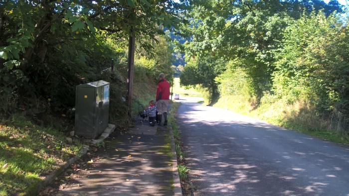
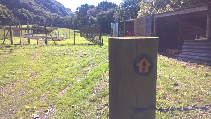
From where you have parked walk back in the direction of the main road. As you wander past the last houses on the left there is a green Openreach box. Just beyond this is a footpath.
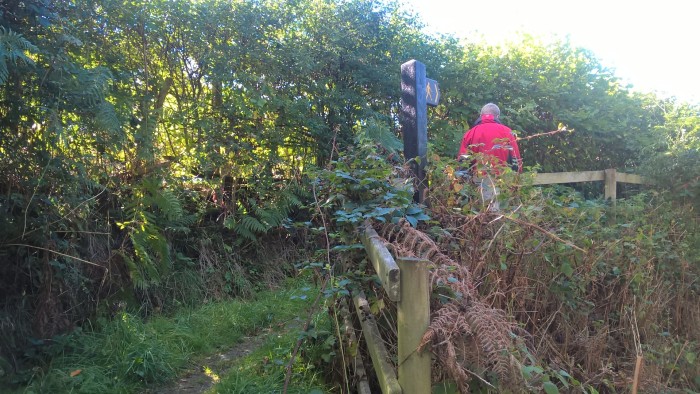
Continue along this footpath and go through the gate. It was a bit overgrown on our wander so be aware of brambles at toddler height.
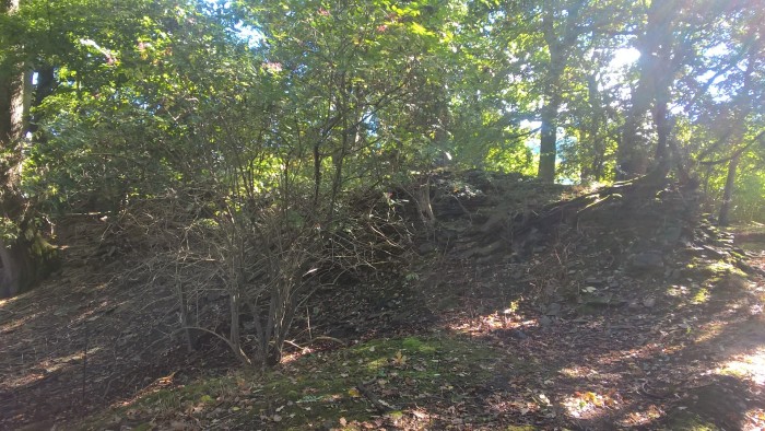
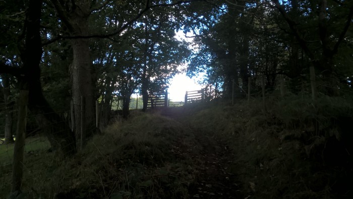
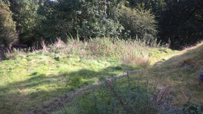
Through the gate is a grassy track that leads round a bend and into woodland.
On your left as you enter the woodland are the ruins of a fortified castle – have a look at this website for more information; castlewales (referred to as Aberedw II).
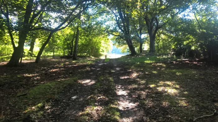
Follow the track through the woodland, past some out buildings and on through the next gate.
Our adventurer had a great time looking for fallen leaves in this long, flat field. A great place for little legs to have a run, even if they are new to wandering.
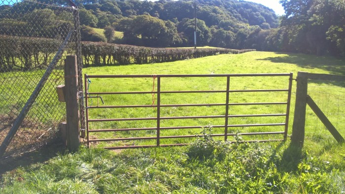
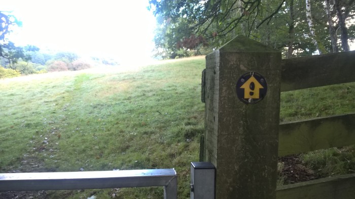
The track takes you along the hedgerow and in between some trees to another gate. Look carefully at the footpath signs and turn left immediately through the gate and through the next, smaller gate.
At the top of a short hill is a gate which takes you into a field.
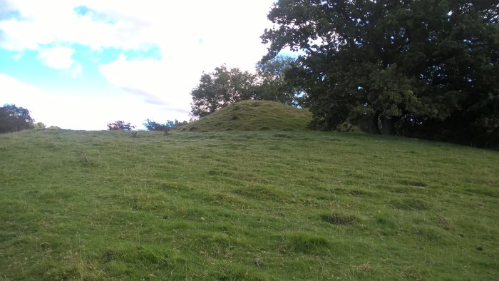
As you wander along the track keep an eye out to your right and soon the huge mound of the motte and bailey castle will come into view.
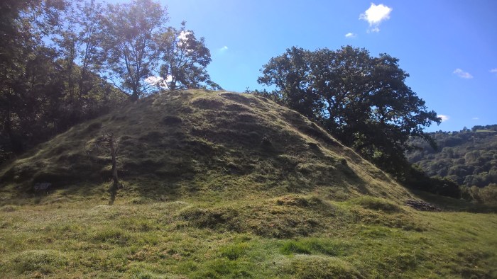
It is pretty impressive close up!
And the views from the top aren’t bad either…
Once you have explored this old castle, and imagined what people of the past might have done and seen here, continue along the track close to the hedge line.
At this fork head left, down a small bank.
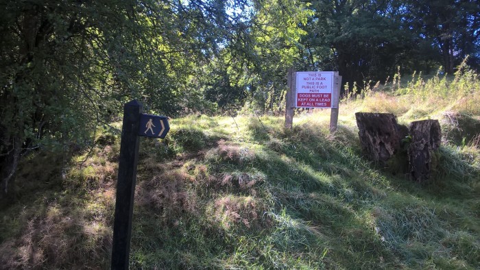
Past these signs…
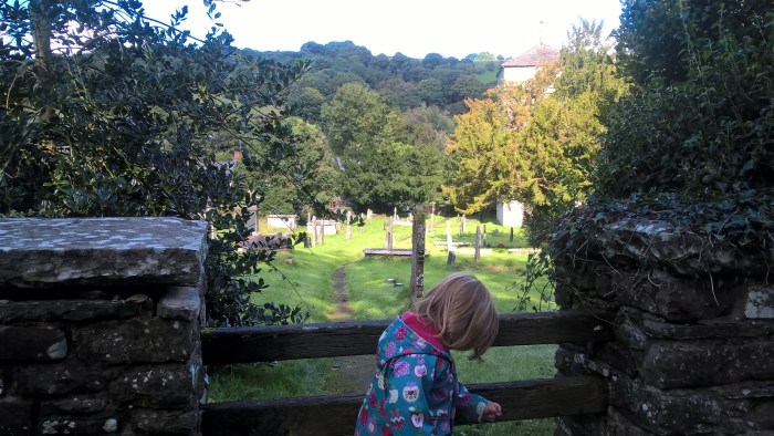
And over the stile on your left into the churchyard.
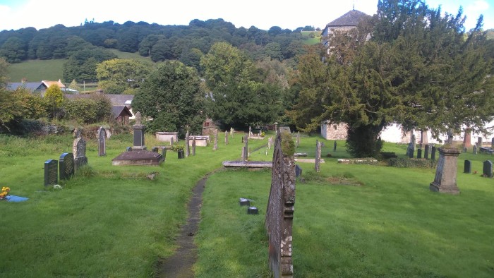
Continue through the churchyard and out through the gate at the far end. Whilst our adventurer is a little young, older children may find gravestones really interesting; consider doing a rubbing with paper and crayons.
Once through this gate turn left and you are back onto the road through Aberedw where you parked. Next to the churchyard is a pub which we unfortunately can’t review as we had a tired, grumpy toddler in tow by this point! Maybe next time…
Use this map to guide you on your way. Click to enlarge.
Click on the map below to view on ViewRanger.
The OS grid reference is SO 080476.
Aberedw Castle is on public footpath and dogs should be kept on leads. I’m a bit rubbish at history so before we went I had a read about the castles on this website.
Parking is on the road in Aberedw. There is only really one road through the village once you have turned off the B4567 and into Aberedw.
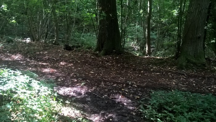
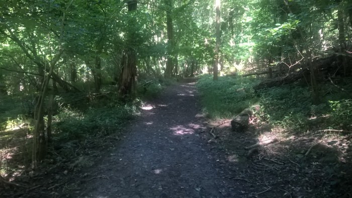
Lea and Paget’s Wood is a gentle, quiet ancient woodland with wide paths and space to stretch little legs. It is cool and shady with gaps in the trees where the sun streams through and a breeze to keep the air fresh. There is a small parking area and wide gateways make this wander suitable for off-road pushchairs. Only 20 mins from Hereford city centre this is a great place to experience some peace and quiet in an open, airy woodland.
Lea and Paget’s Wood
Distance: just over 3/4 mile
Time: around an hour at toddler speed
Guide
From the parking area head back down the hill past the detached garage on your left. The gate way with a style is on your left opposite the white house.
Go through the gate and down the grassy track to the next gate. Through here and follow straight on along the trail next to a fence. This bridleway is part of the Wye Valley Walk.
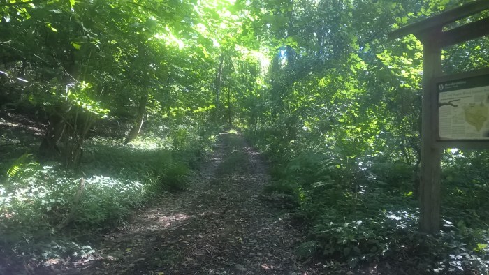
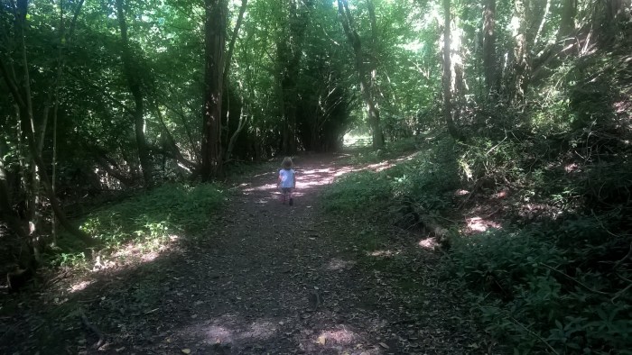
Soon you will arrive at the gate into the woods. Through this gate you step into a bright, airy woodland with a wide, well maintained path.
After a short while there is a trail heading down through the trees on the right, we went this way.
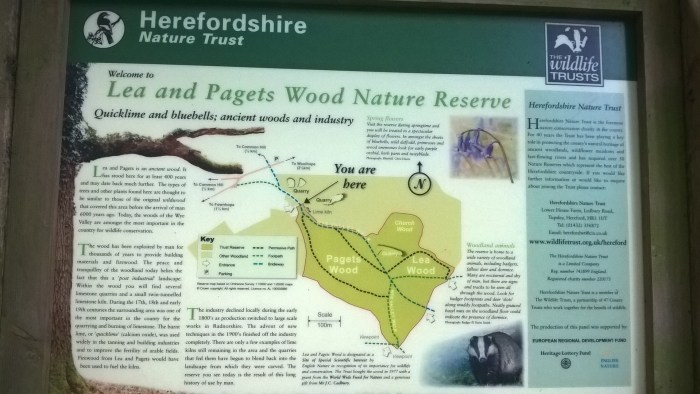
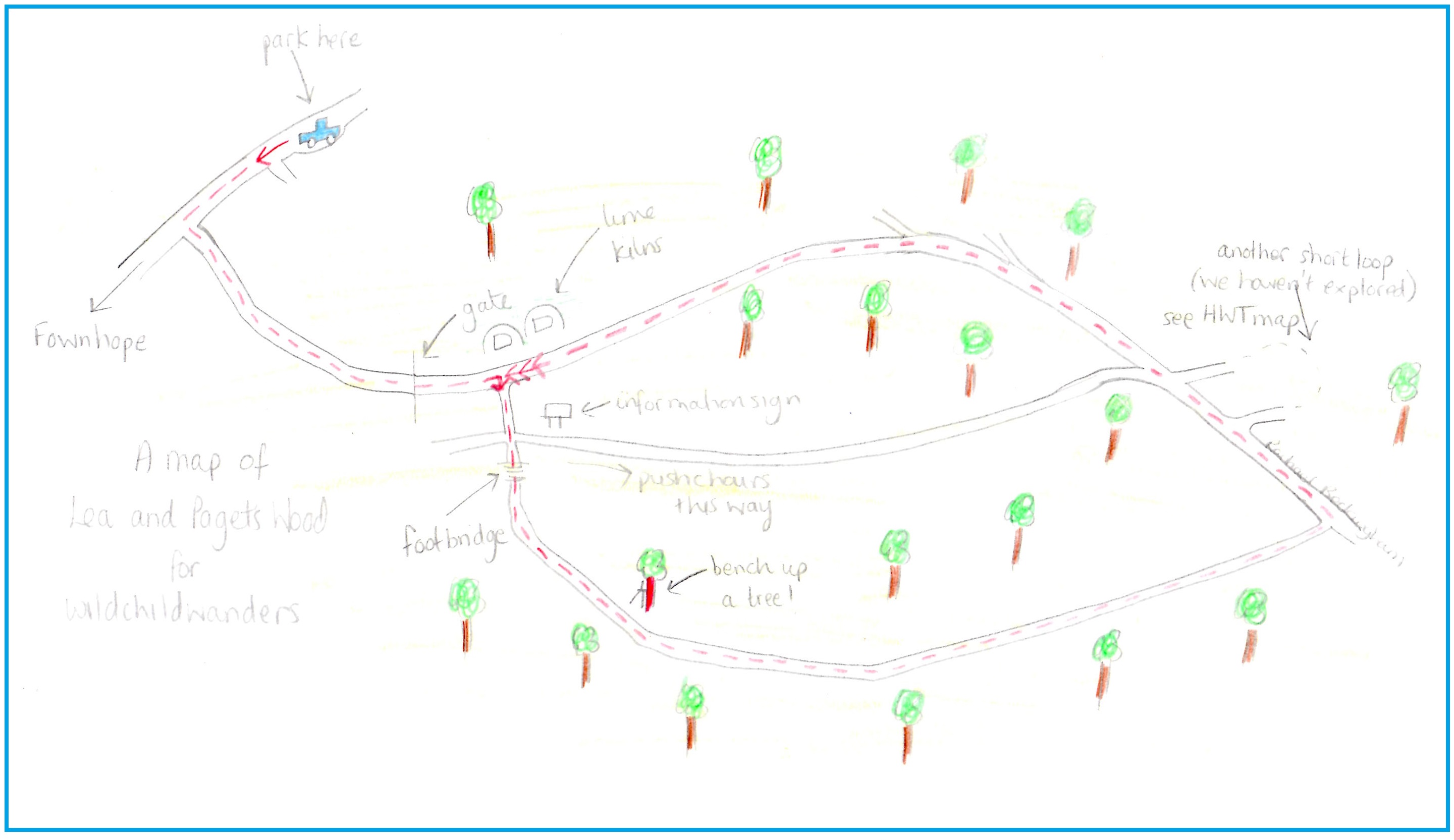
And turned left at the bottom where there is a useful information sign. We’re not sure how accurate this map is, see our map below for more detail.
If you have brought a pushchair then stay on this trail and wander to the end, turning left at the junction (see our map below).
If you’re after a bit more adventure then follow us down the trail to the right of the information sign!
Over the wooden footbridge…
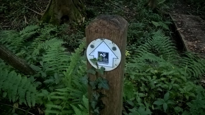
.. and up the hill next to the fence line, turning left by the tree with the blue dot.
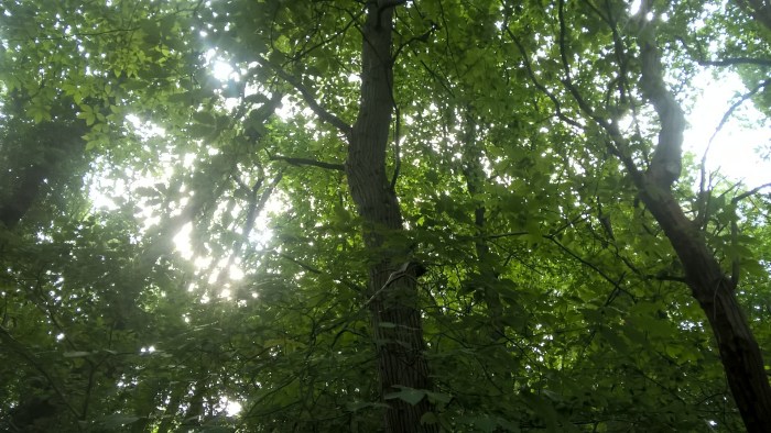
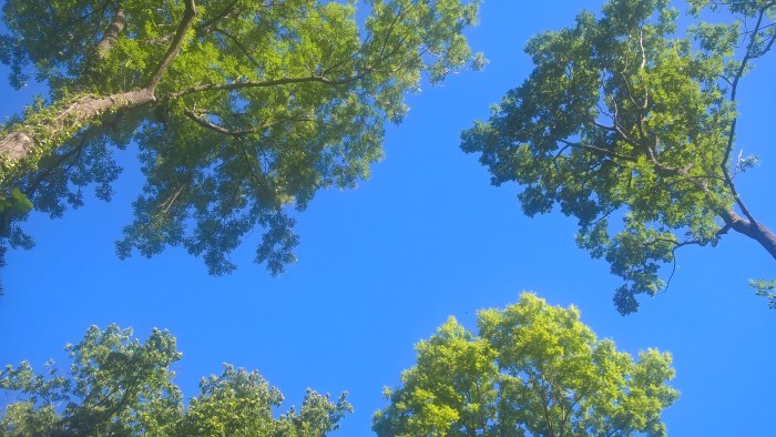
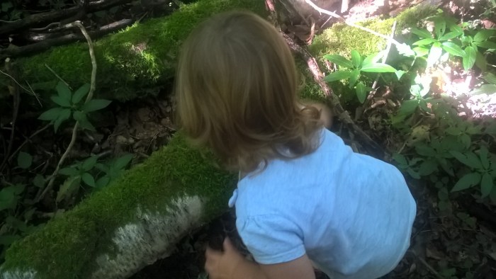
There are so many wonderful things to look at in these woods. Our adventurer really loves moss at the moment and spent ages hunting down and touching different patches of moss! It’s also beautiful to look up at the canopy and all of the different shaped leaves, how many trees can you identify?
Keep following this trail through the trees until you come to a clearing with the most amazing tree-top bench! Unfortunately it was just mummy and her adventurer on this wander so we couldn’t safely enjoy the view from this seat but we might well return with another grown up as it looks like fantastic fun.
We followed the trail next to the tree-bench and onwards through the woods. Our wander took place at the end of summer therefore the path was quite overgrown, keep in mind that your adventurer may need a lift over some of the bushier bits.
When you arrive at a t-junction, turn left.
The view above was beautiful here too.
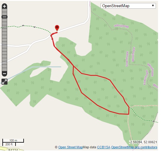
This trail now re-joins the bridleway that we started out on. Wander past two right hand turns… (you could add an extra loop onto this wander by taking the first right hand turn which should bring you out at the second right hand turn, see Herefordshire Wildlife Trust map).
… and take the right hand fork (this is where the wider trail from next to the information sign comes out).
Keep left at this post…
… and this post.
There are lots of different shaped boxes on the trees for birds and other things? And of course, more moss!
This bridleway now winds down through the woods back to the gate that we came through.
Before you head out of the woods take a look at the lime kilns next to the track. They look like mounds of earth and then you spot the brickwork. Don’t let little adventurers explore these alone as they could easily slip inside.
Head back through the gate and follow the grassy track back to the parking area. Make sure you take a good look at the fabulous view across the Wye Valley.
Use this map to guide you on your way. Click to enlarge.
Directions: From Hereford take the B4224 to Fownhope. After driving through Fownhope take the first left, Hawkers Lane. Continue on Hawkers Lane, past 2 right hand turns for Common Hill Lane. When you see the garage (pictured below) on your right keep driving past the driveway and as you go under the trees you’ll see a small parking area on your right.
Dinefwr is a parkland wander with open spaces, a woodland nature reserve and a castle! It is best to go on a clear day so you can enjoy the views that Welsh Princes of the past had from their elevated position. The castle is a Cadw site and is free to access however the larger site at Dinefwr is owned by the National Trust and you must pay to park onsite (unless you are a Cadw or National Trust member). To make the most of this site you could make a day of it and also visit the house, deer park and boardwalk. There is a small cafe on the way to the castle and a tea rooms at the main house.
Dinefwr Castle
Distance: just over a mile (nearly 2 miles after exploring the castle and the woods)
Time: 1 hr 10 mins with no stops (it took us nearly 2 hours)
Guide
From the car park follow the castle footpath signs..
… along the stoney road and through a gate.
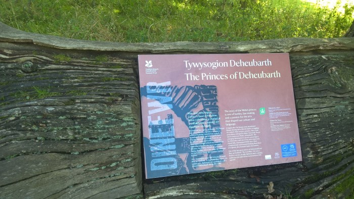
There are a number information signs along this route telling of the history of the site and the castle, here is the first.
Carry on along this road, past the entrance to the deer park and another info sign.
Around a bend and down the hill.
On the right is a small cafe where we stopped for a yummy flapjack snack.
Continue wandering past the entrance to the boardwalk and through two gates.
Through the second gate carry straight on up the hill. If you are looking to extend your wander then there is a track that heads right and loops through the lower section of the woods.
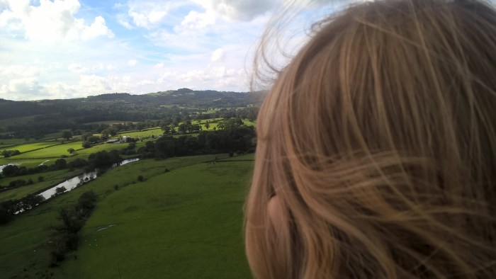
As you turn the corner take a look over your shoulder for a gorgeous view of the valley.
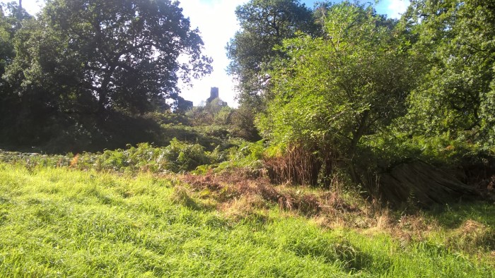
A glance up to the right will give you your first glimpse of the castle through the trees.
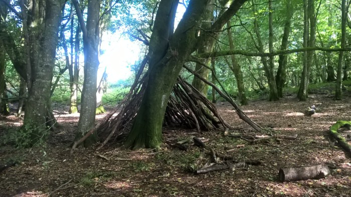
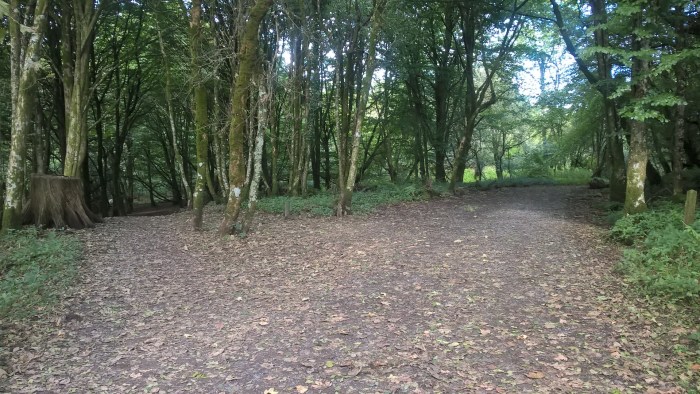
The next gate takes you into Coed y Castell, a beautiful woodland nature reserve that surrounds the castle.
Look out for traces of activities that have been happening here. There were some brilliant shelters when we visited.
Take some time to explore the woods as you wander through them. Our adventurer loved looking for blackberries and picking up different leaves.
At the t-junction head right up the hill through the trees.
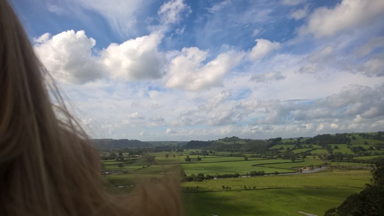
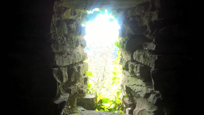
Suddenly the trees stop and the valley opens out in front of you…
… with the castle perched right on top of the hill.
Head inside the castle to explore!!
Up and down steps…
Absolutely fantastic views in all directions.
Just outside the castle is a super picnic area.
We spent a long time at the castle exploring through all of the doorways and up and down the many (too many!) steps. It really is worth a trip for the views themselves, you can see all the way down the valley to Picton Tower in the distance.
When you can drag your adventurers away head back to the car the way you came up; remembering to turn left at this junction in the woods.
If you are looking to extend your wander take a look at the ViewRanger map below for some ideas or take a stroll through the deer park or along the boardwalk on your way back.
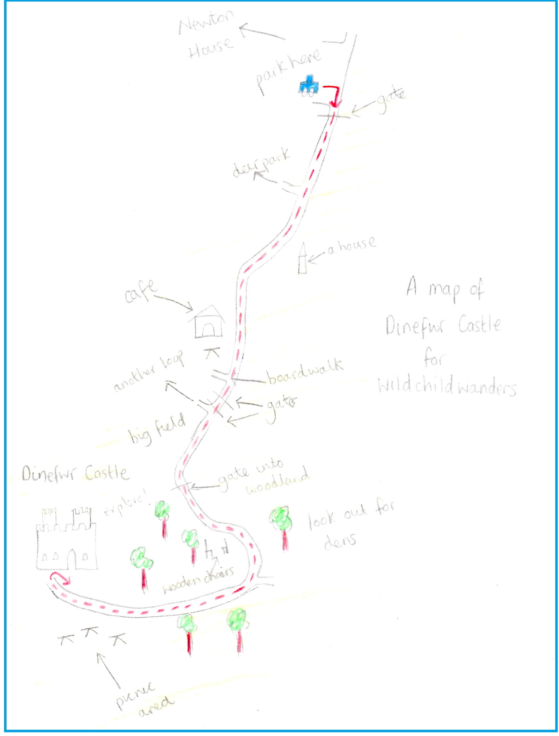
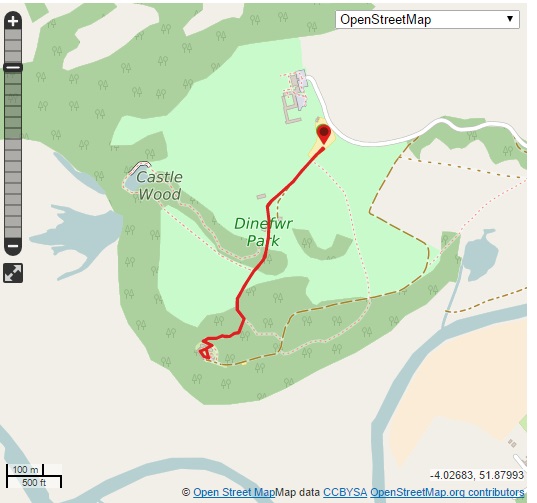
Use this map to guide you on your way. Click to enlarge.
Directions: From the A40 Llandeilo bypass take the turning signposted Dinefwr Park. The entrance is just down this road on the right, clearly signposted.