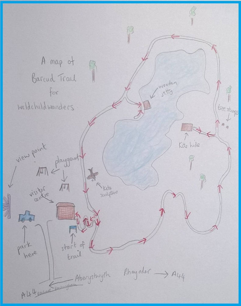
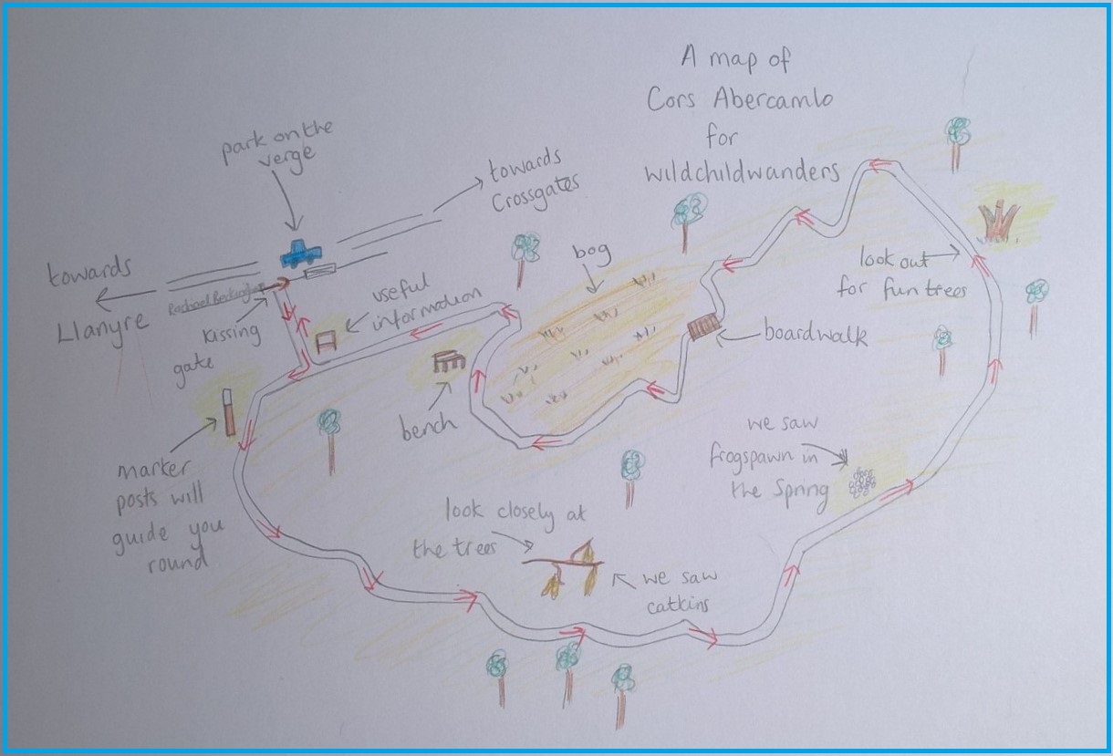
Cwmdeuddwr is a circular, wildlife watching wander around Rhayader town. It is a great walk for any weather and although around a mile there is open space and a park for extra running. This wander uses footpaths, pavement, quiet roads and fields – there are steps so it is not suitable for pushchairs and smaller adventurers might need a hand. There is free parking, toilets en route and amenities in the town. N.B. the park and river area can be accessed via a different entrance that doesn’t involve steps.
Cwmdeuddwr Wildlife Walk
Distance: one mile
Time: half an hour (it took us 1hr 20mins with playing in the river and at the park)
Guide
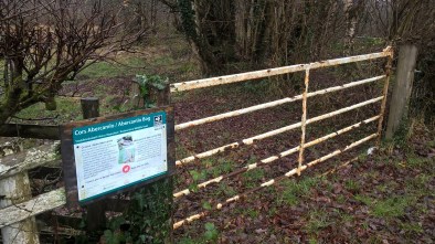
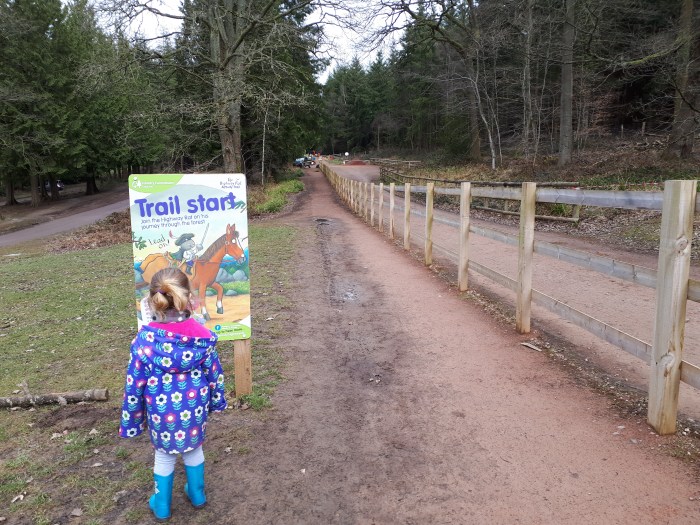
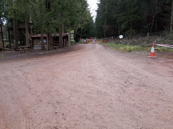
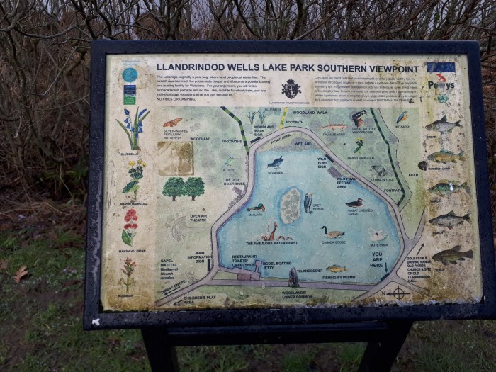
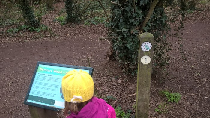
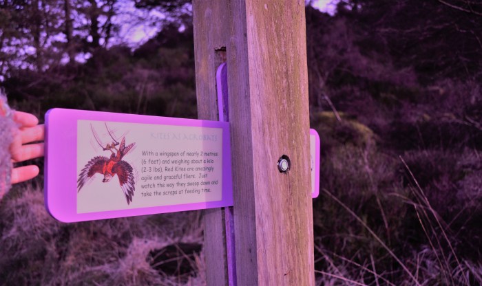
In the bottom right corner of the car park is an information sign, head towards this.

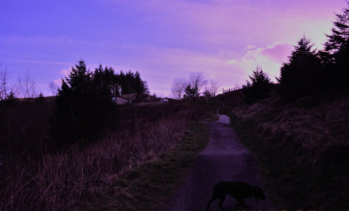
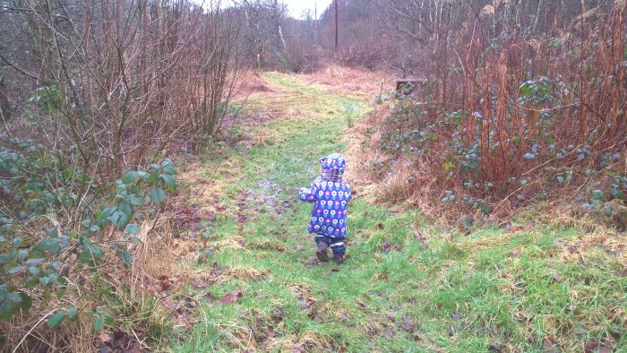
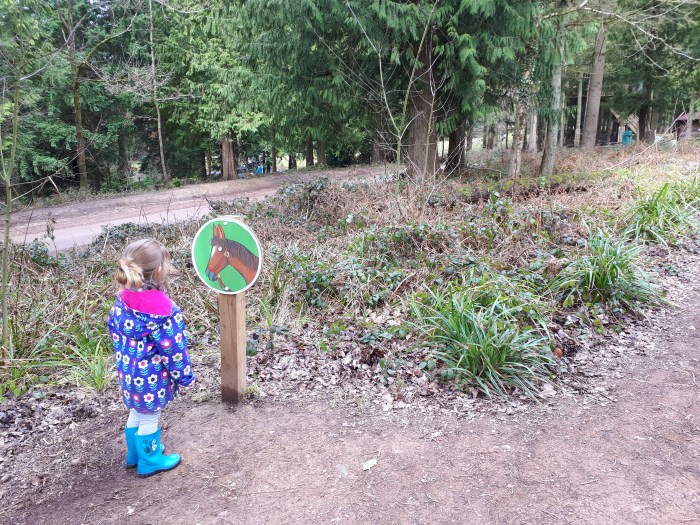
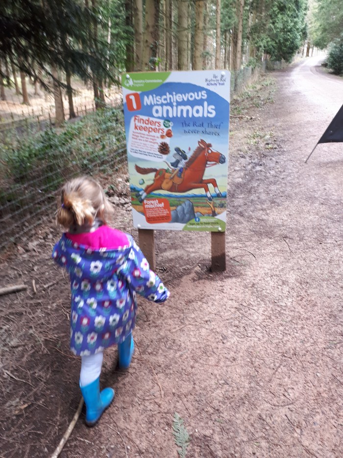
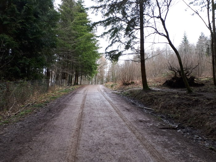
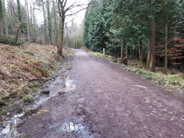
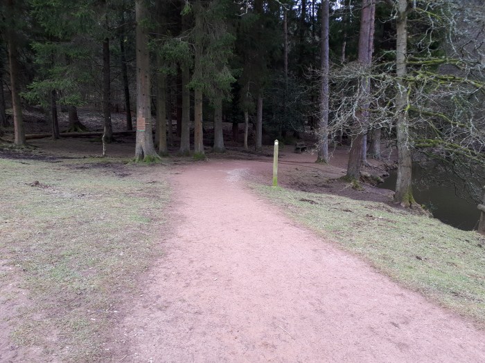
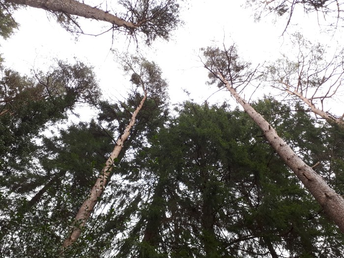
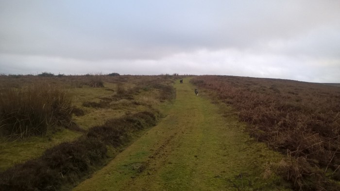
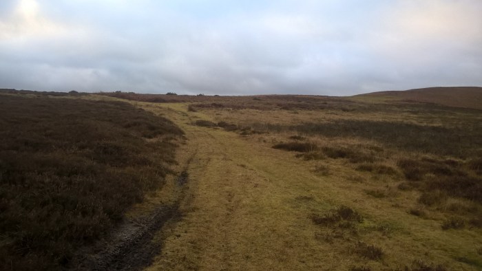
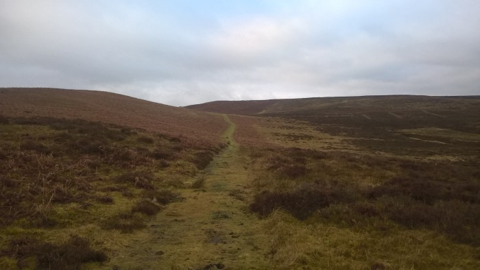
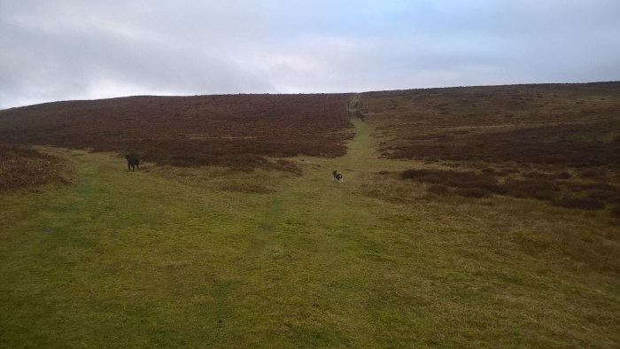
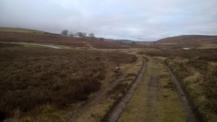
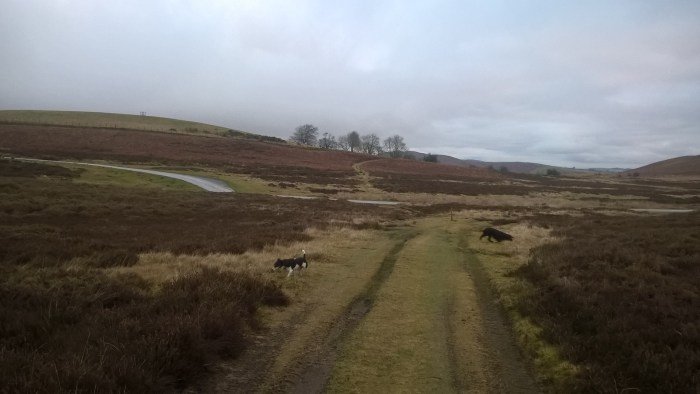
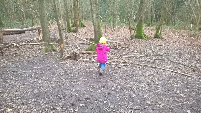
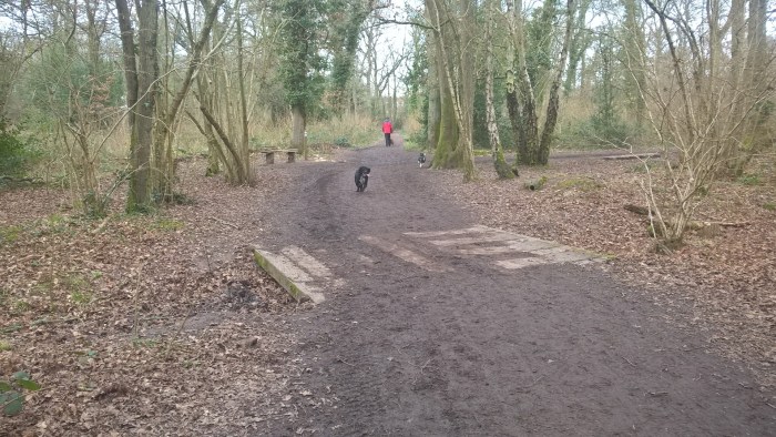
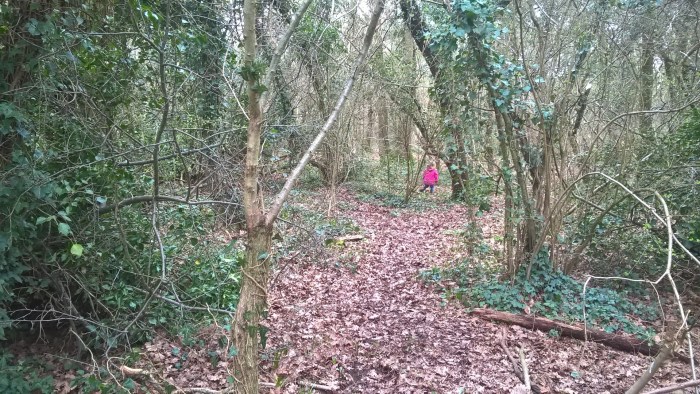
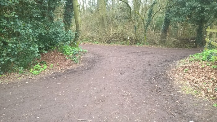
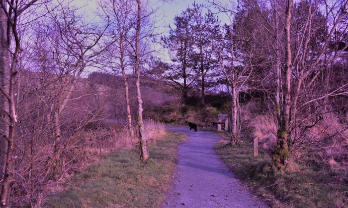
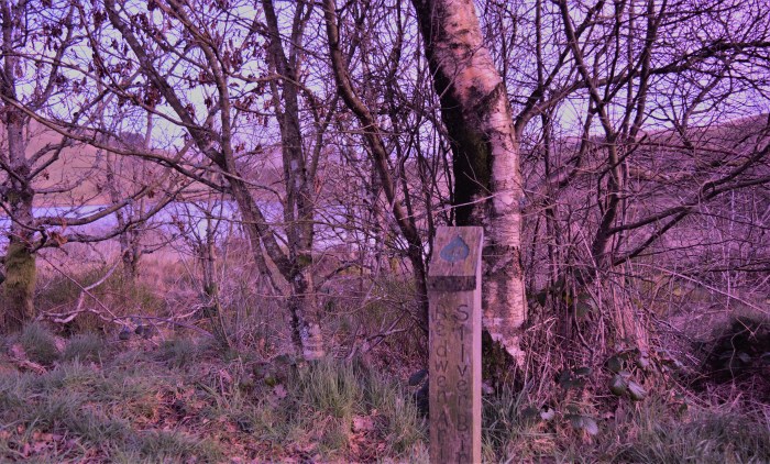
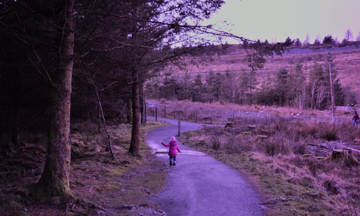
Follow the footpath and the green Wildlife Walk arrows.
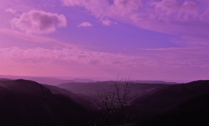
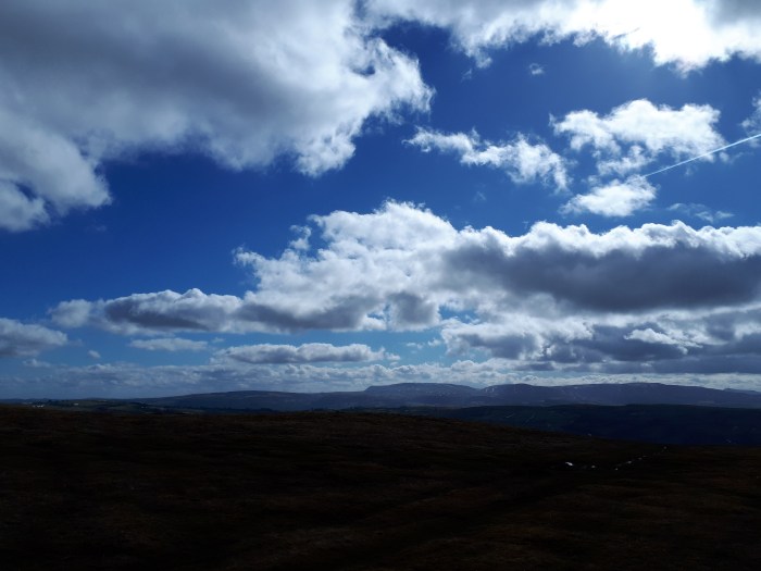
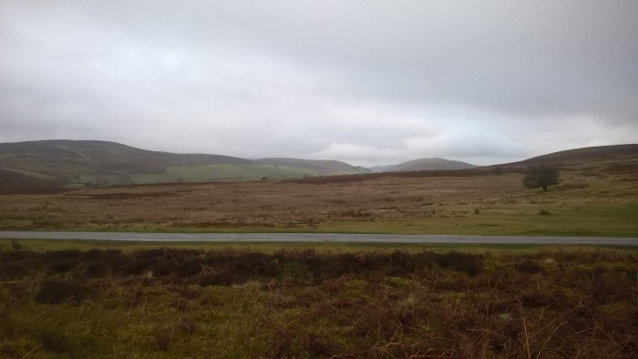
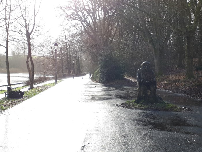
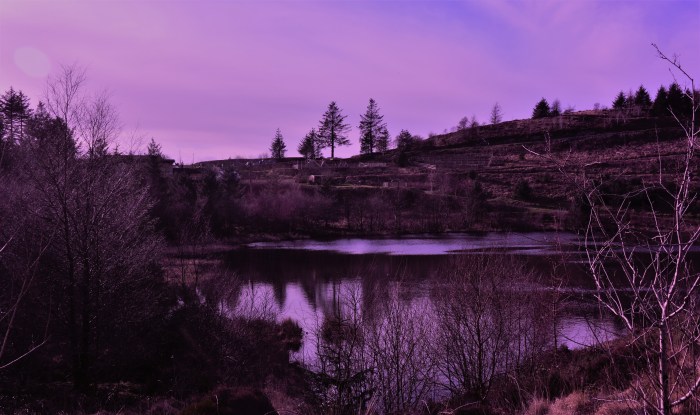
Look out for the bench on the right as you go around the corner – fab views across Rhayader.
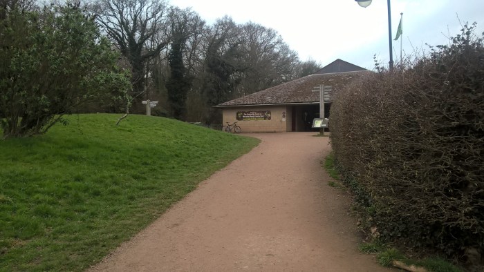
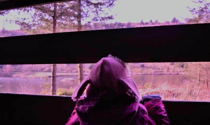
Continue along the footpath until you reach a small building.
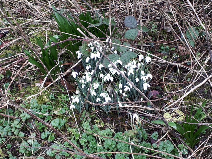
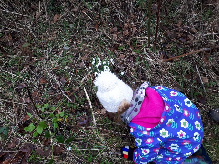
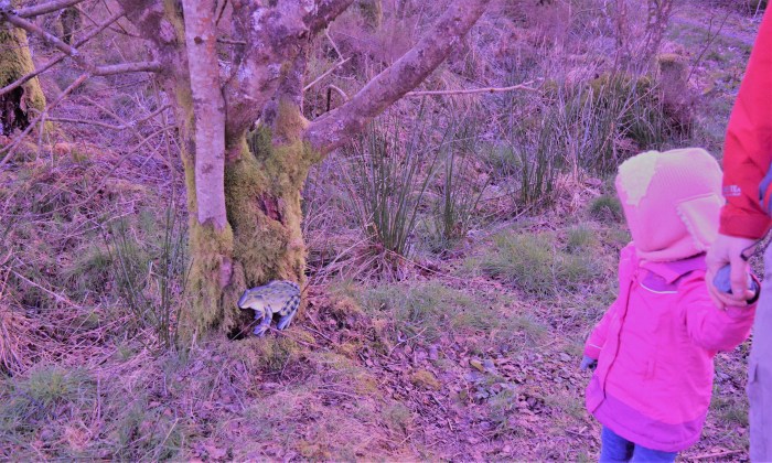
We saw some beautiful snowdrops.
Wander around the side of the building and follow Station Road downhill to the right.
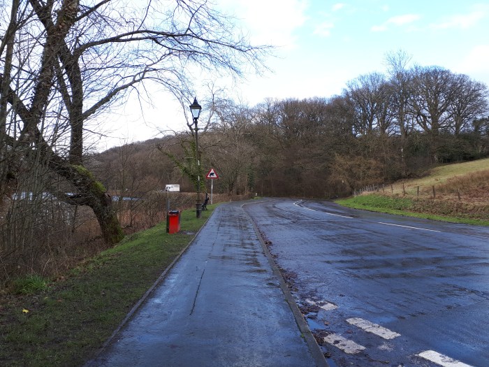
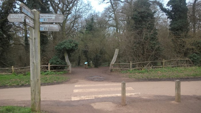
At the t-junction turn right and walk along the pavement. Cross over the road towards the toilets – clearly signposted.
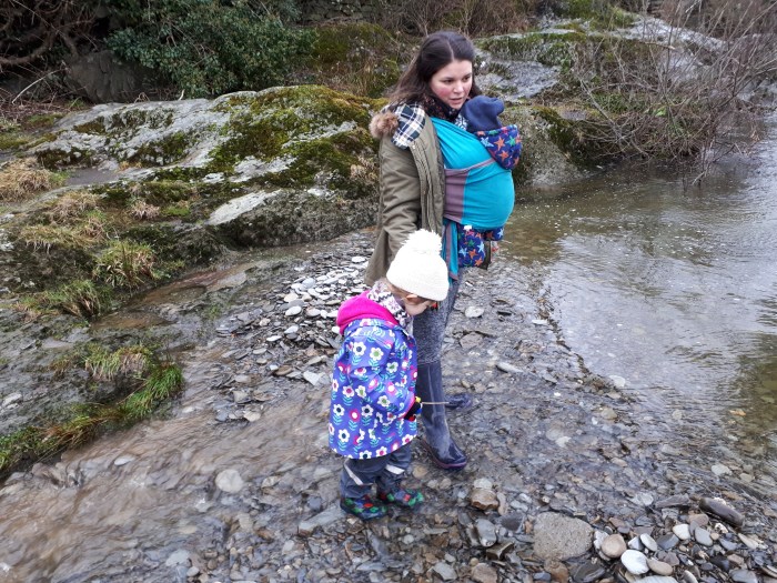
Continue towards the toilets (white building) then head left take the steps that go behind them, down towards the river.
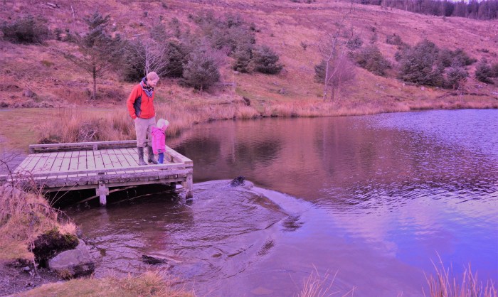
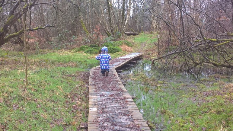
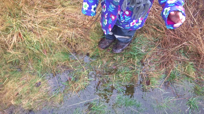
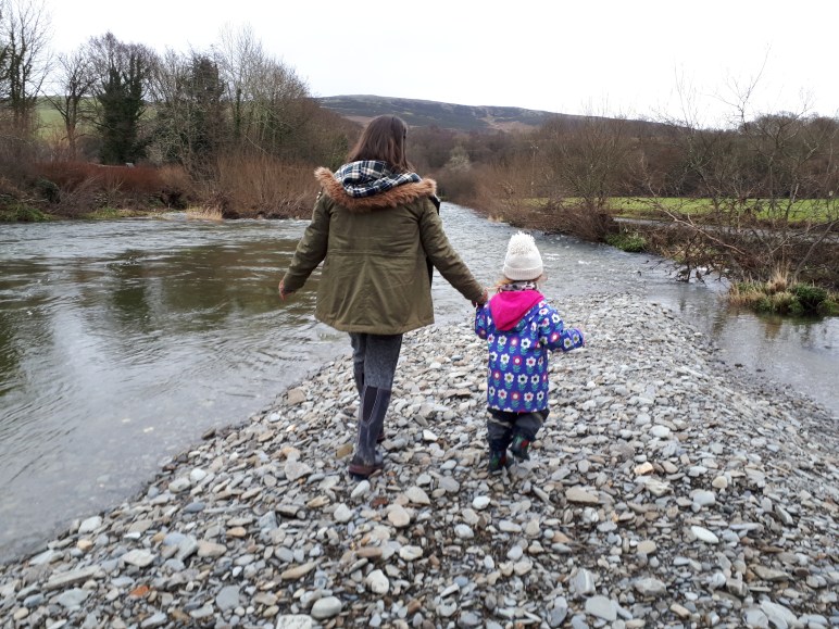
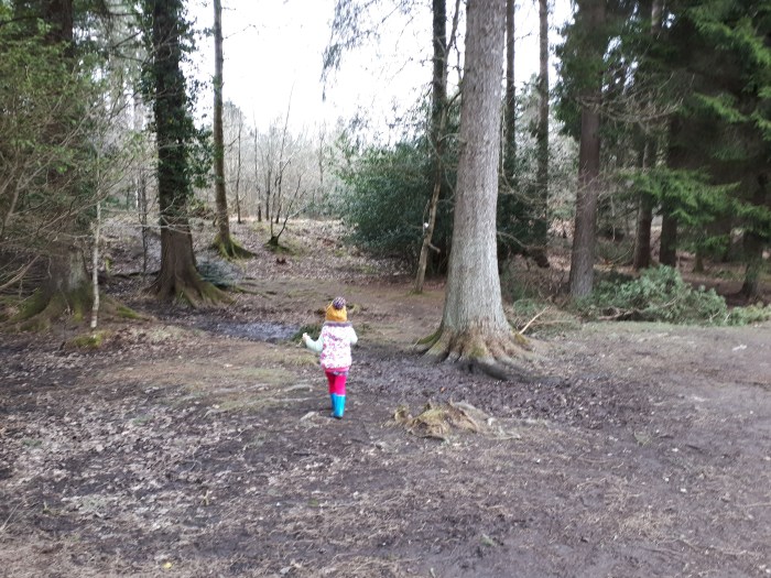
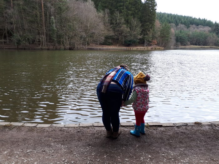
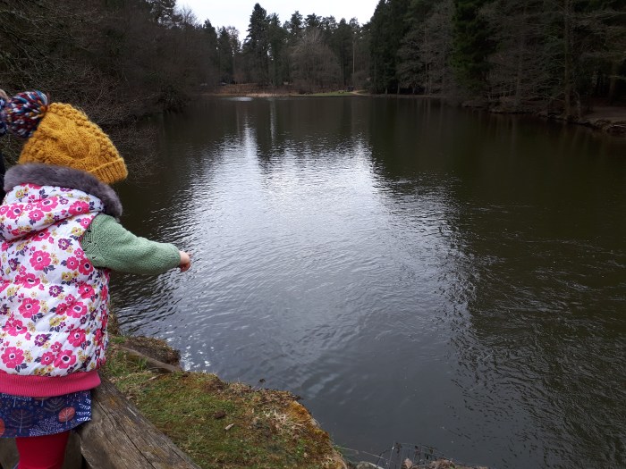
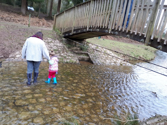
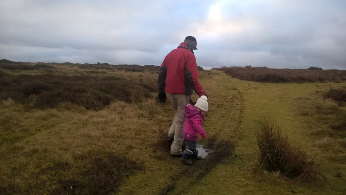
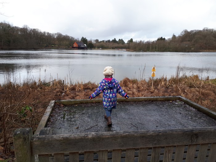
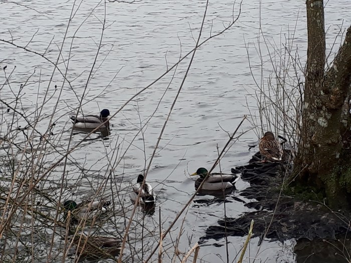
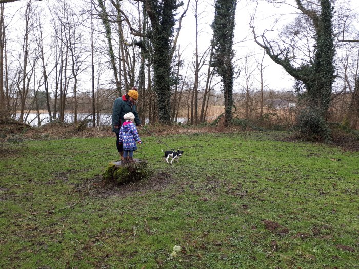
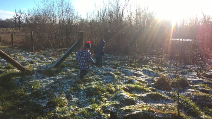
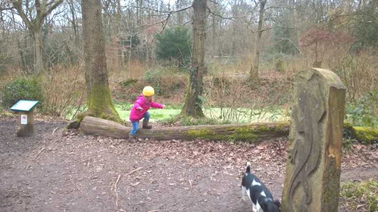
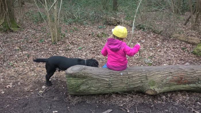
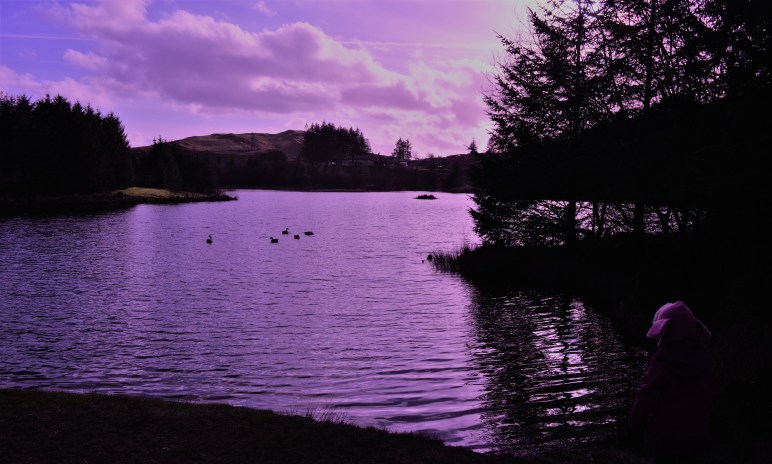
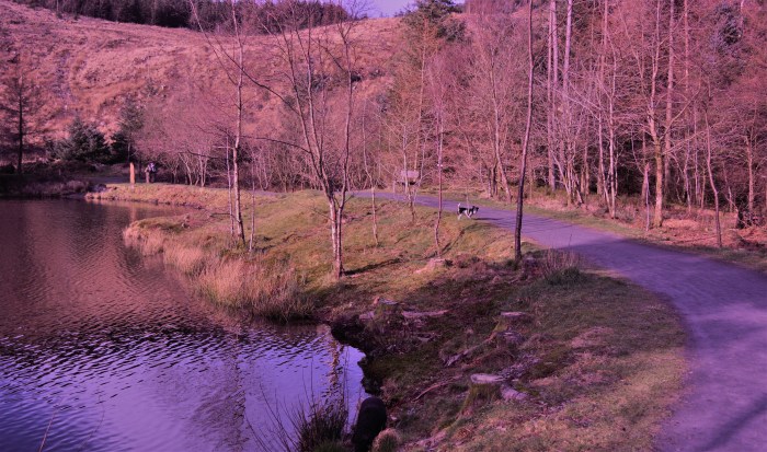
We had lots of fun splashing and paddling in the river. Little legs might need a hand getting down the bank.
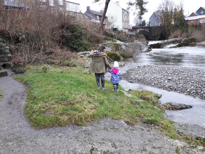
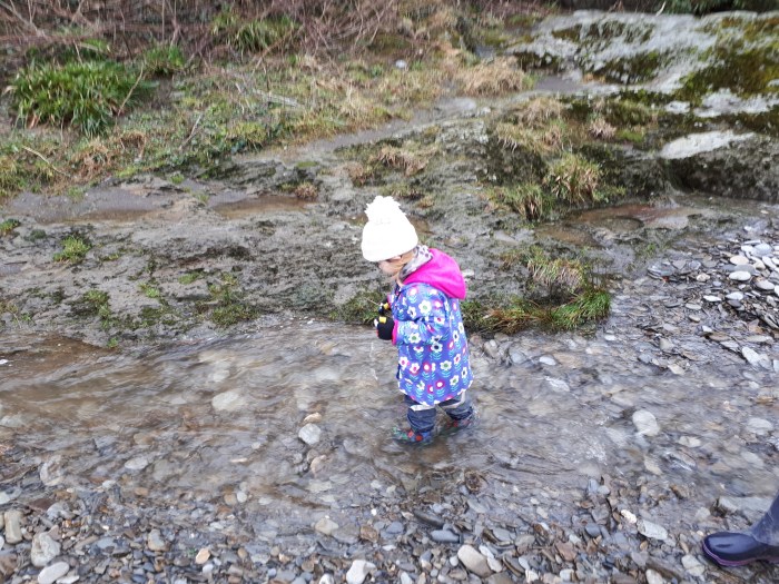


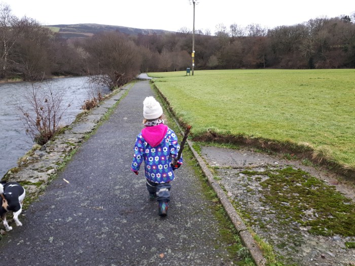
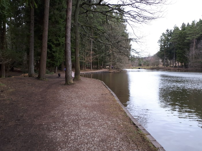
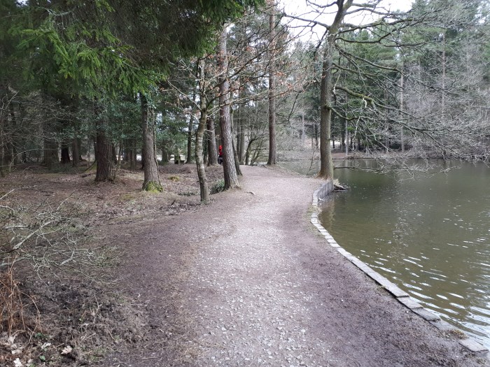
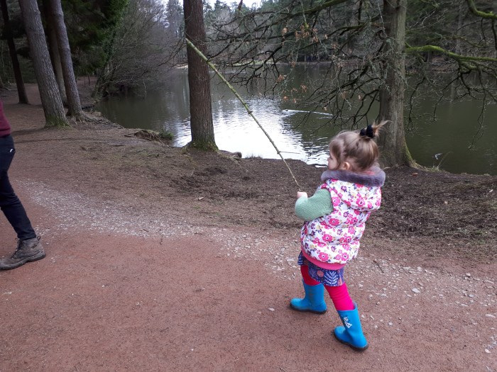
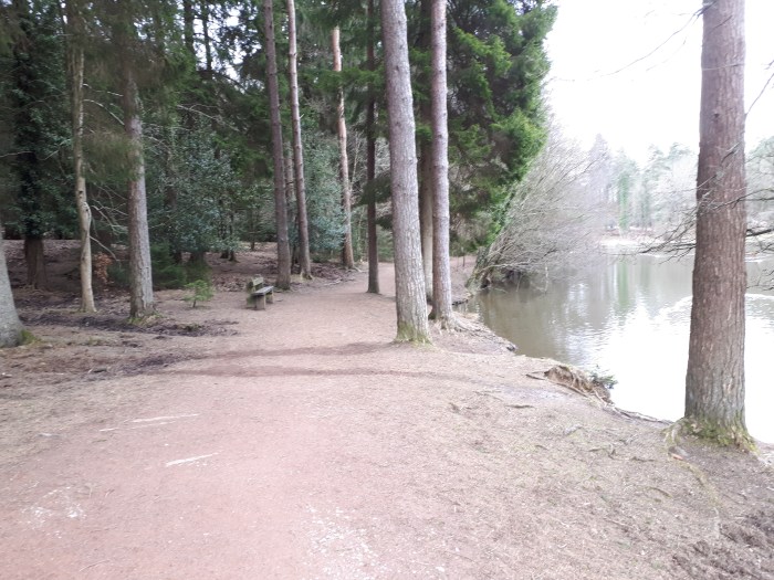
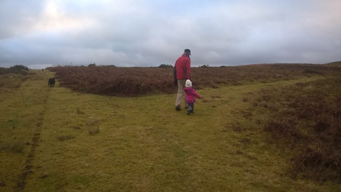
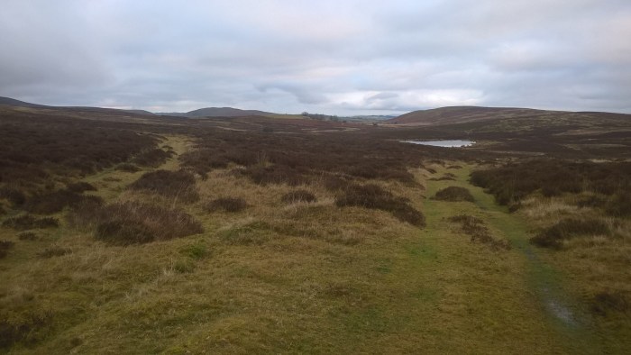
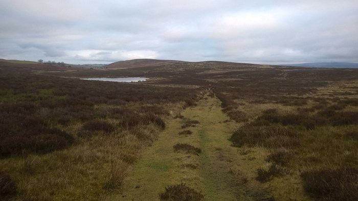
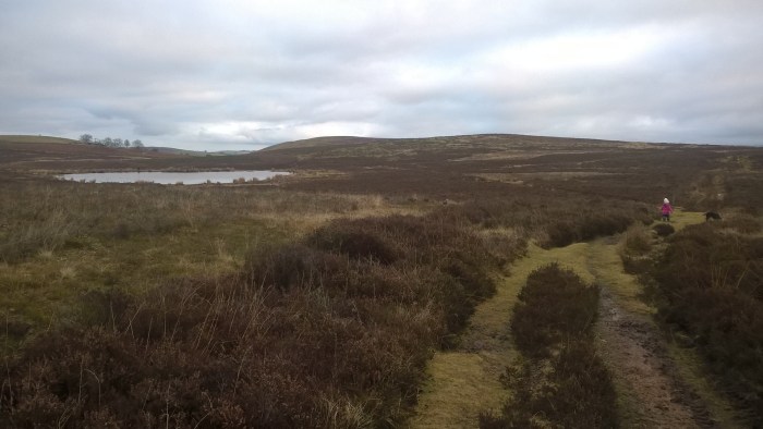
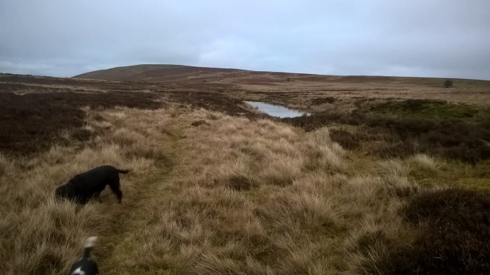
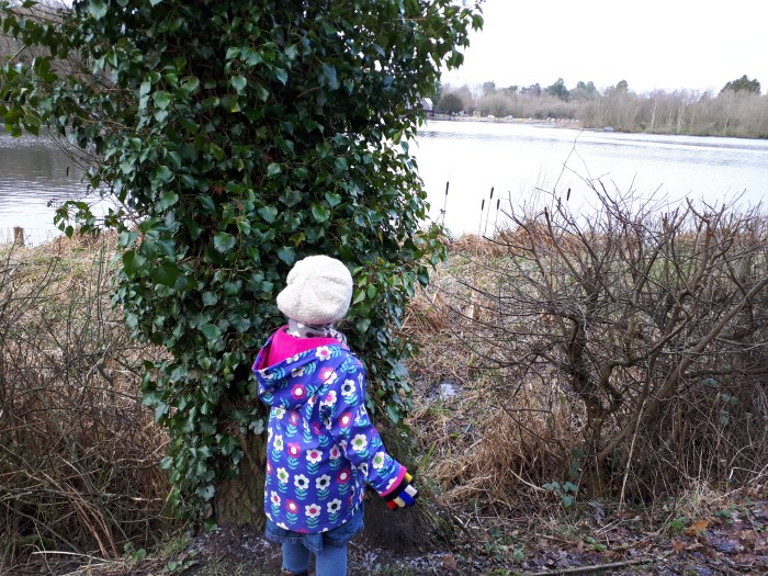
When you’ve had your fill of splashing follow the arrows and path along the river bank.

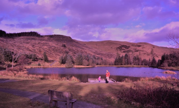
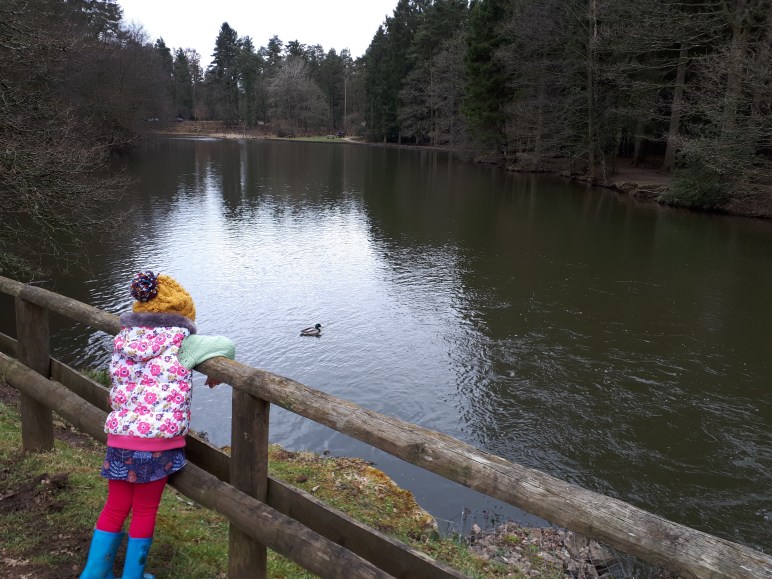
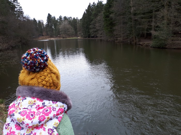
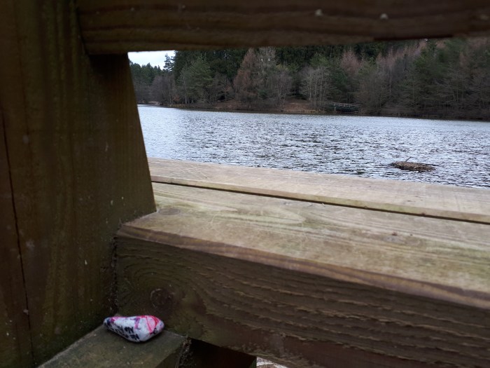
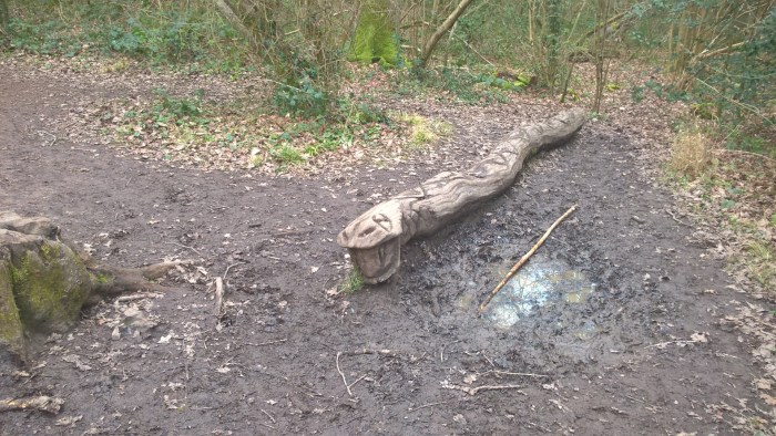
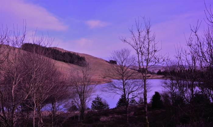
Go straight on at this junction to reach a lovely viewpoint and bench… this was under a fallen tree when we visited, great for exploring!!
Turn around and head back to the junction where you will turn left.
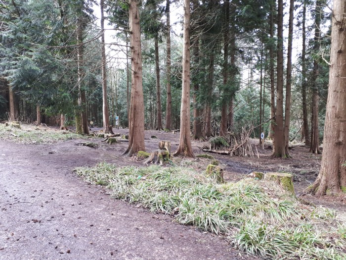
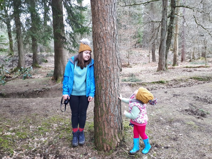
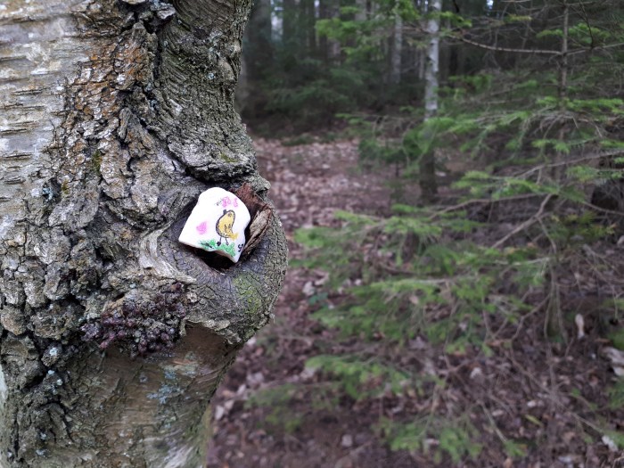
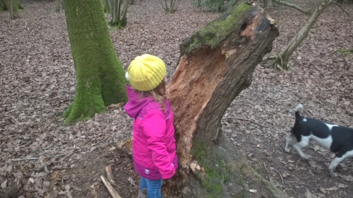
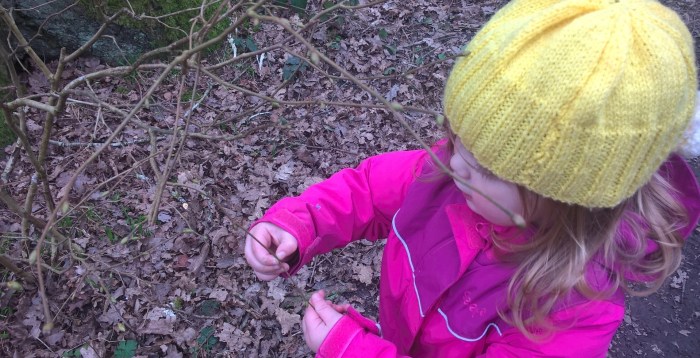
We took a closer look at the different kinds of buds on the trees.
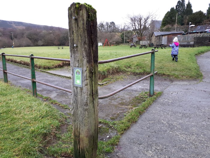
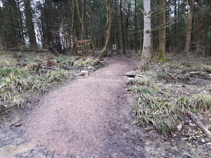
Follow the path past the information sign and towards the swings..
And have a swing, of course!
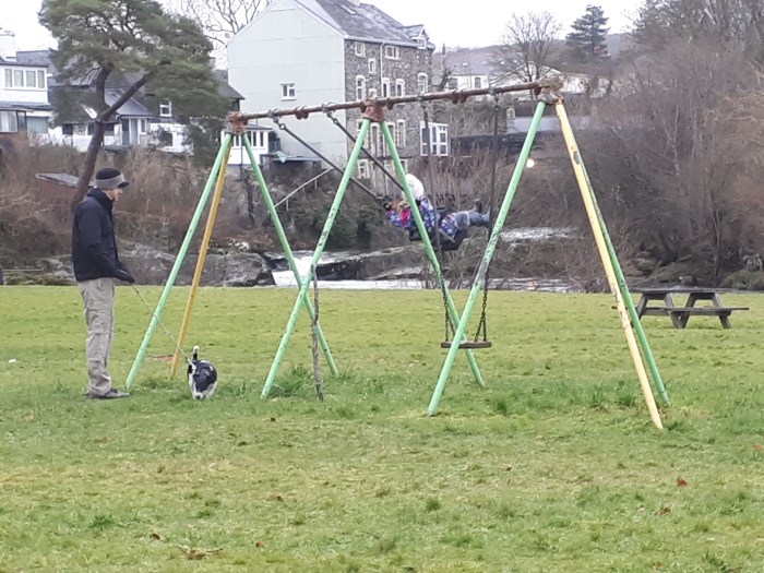
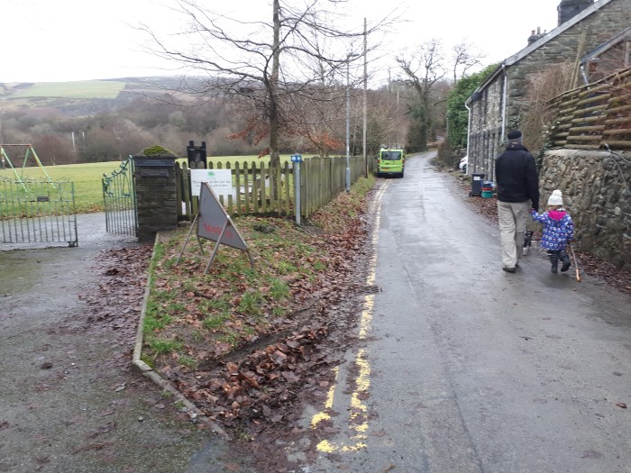
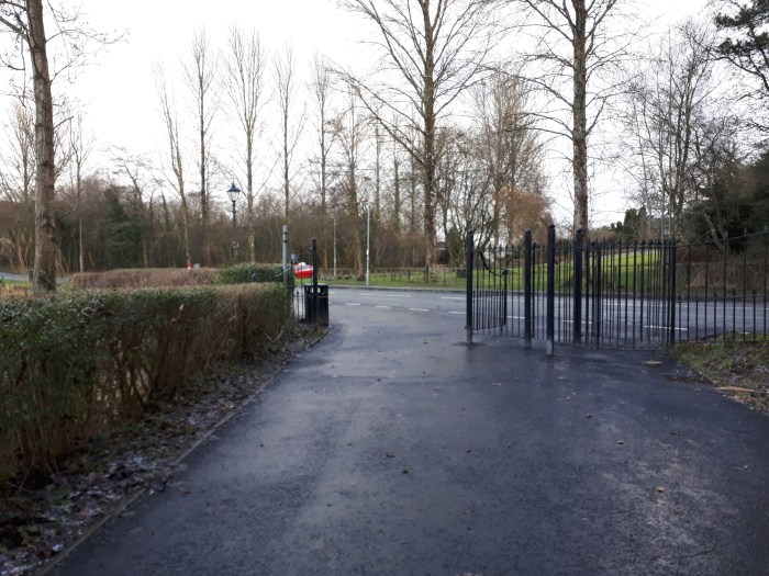
When you can tear yourself away from the swings (it took us a while!) go through the gate out of the park, next to another information sign..
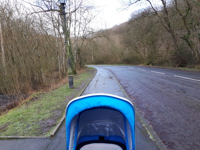
..then do a u-turn and continue along the lane parallel with the path you have just walked on in the park. Cars do use this road.
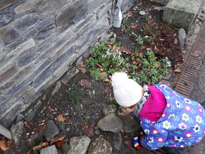
Sniff all of the flowers…
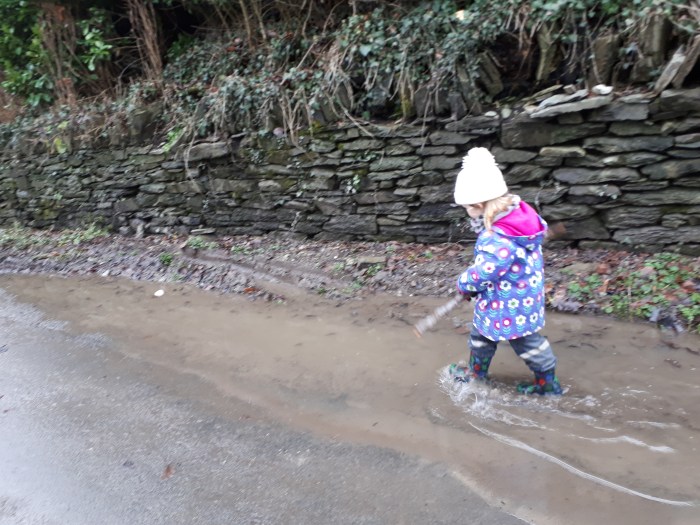
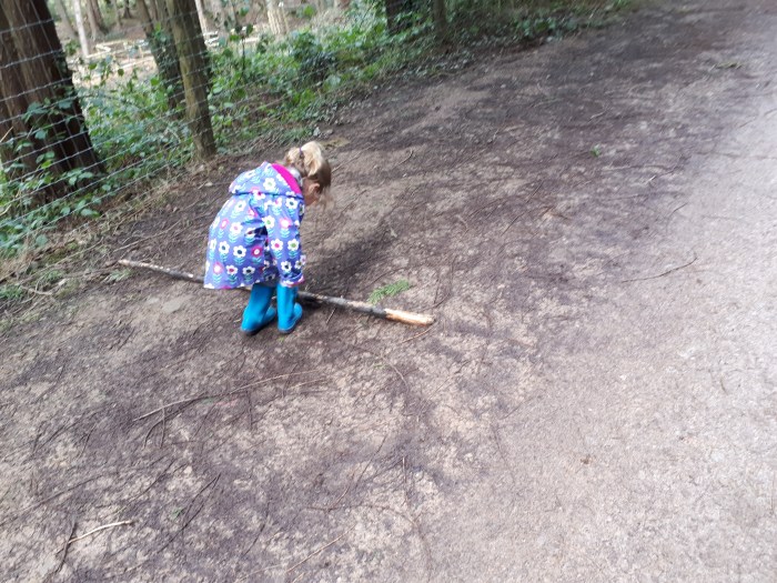
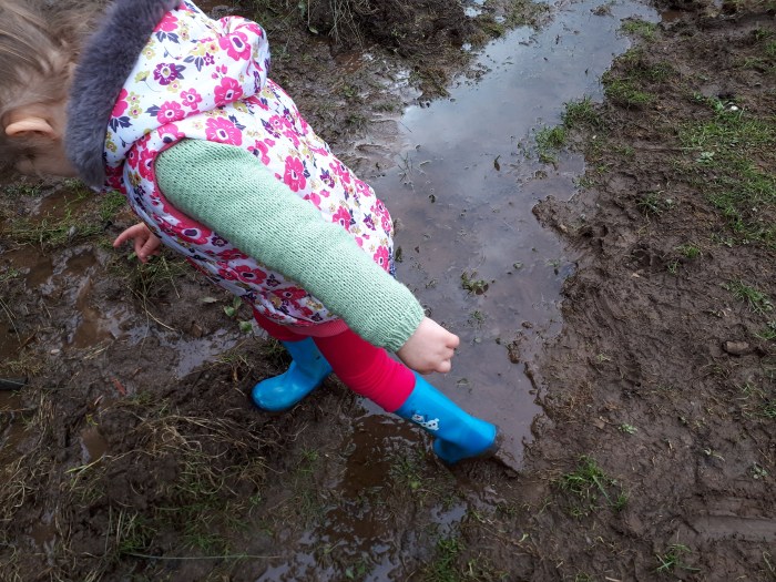
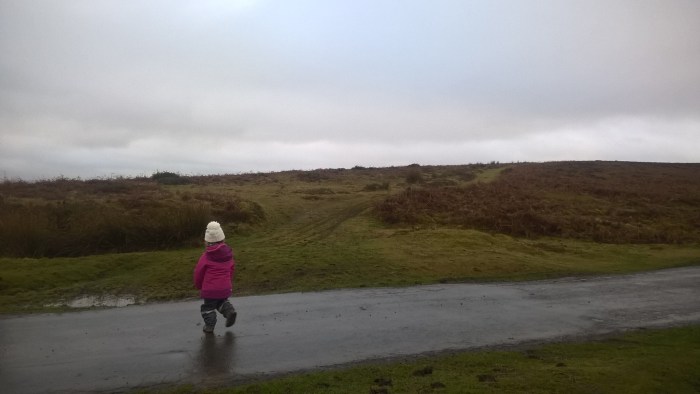
Row through all of the puddles…
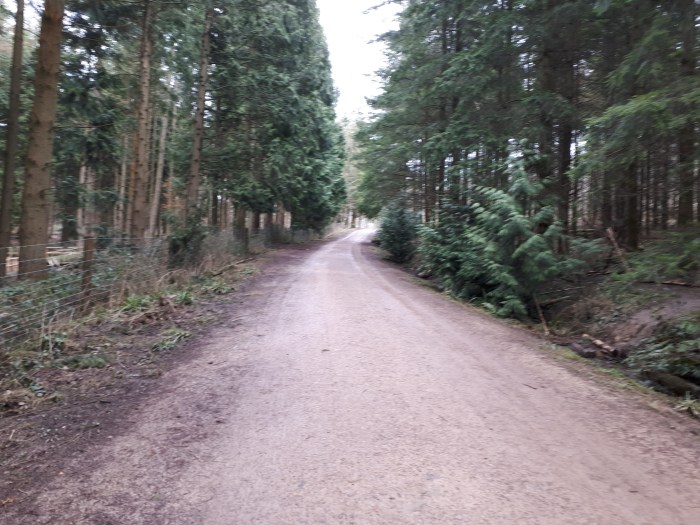
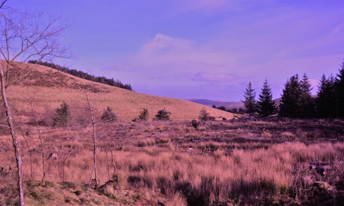
Stay on the road, around a bend and up a hill with the church yard on your right.
Hedgerows are great for nature spotting, we saw a lot of catkins. Our adventurer loves catkins!
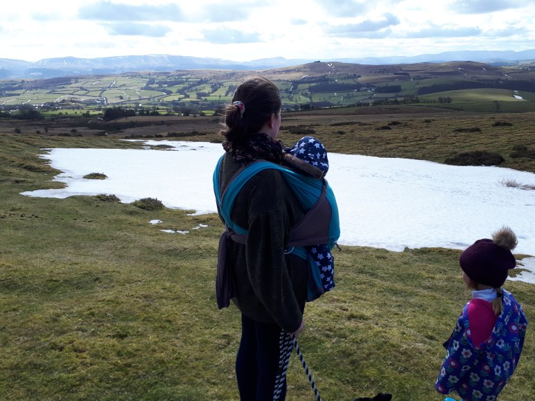
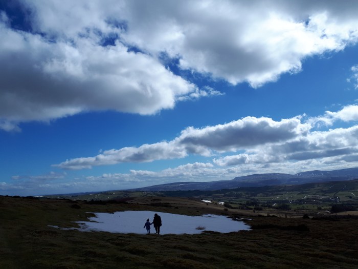
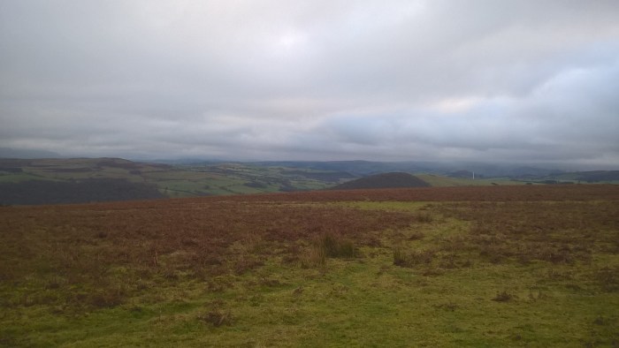
When you reach the gate into the field, take a moment to turn around and admire the view behind you.
And sniff some more flowers?
Through the gate and straight down the hill – it is a little bit steep and younger adventurers will probably need a steadying hand.
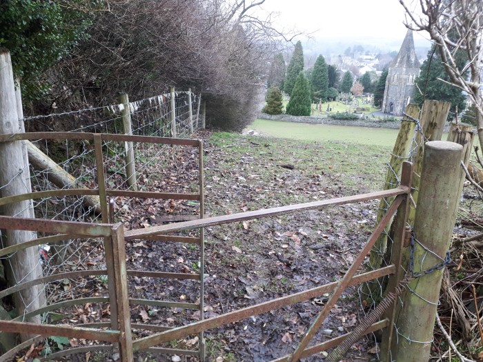
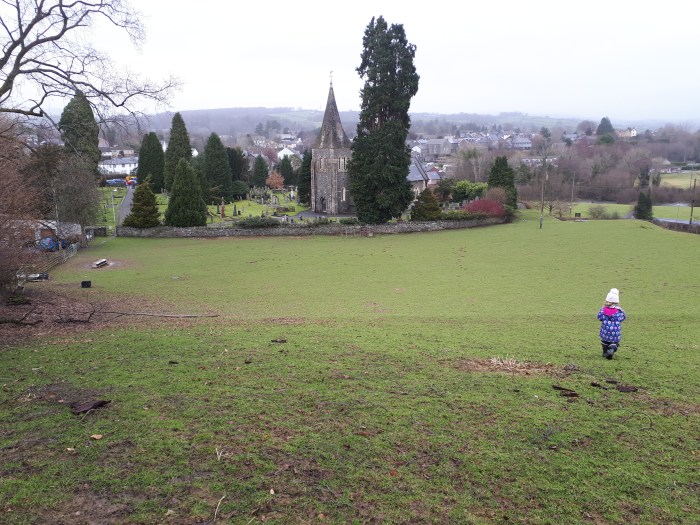
Head for the gate into the churchyard in the bottom left corner of the field…
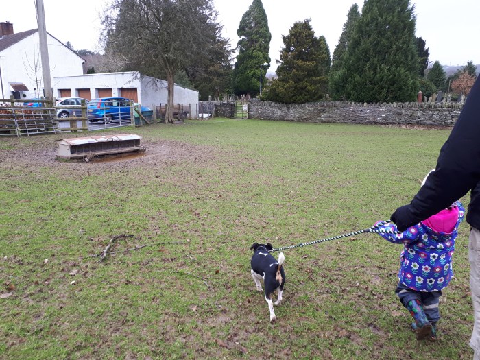
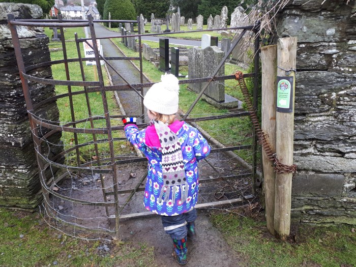
.. and continue through the churchyard.
Just outside the gate is information about the kind of wildlife you might see in the churchyard.
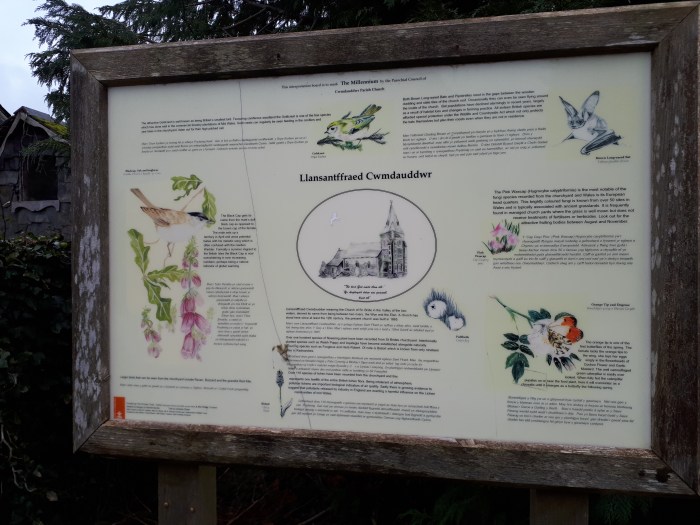
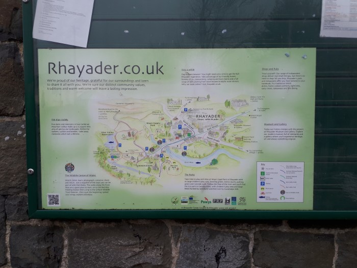
And another information board about Rhayader on the building to the left.
When you reach the road cross over to the other side and wander back until you reach the car park entrance.
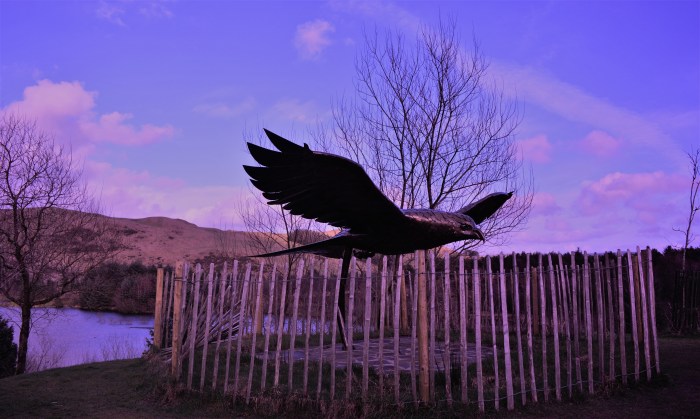
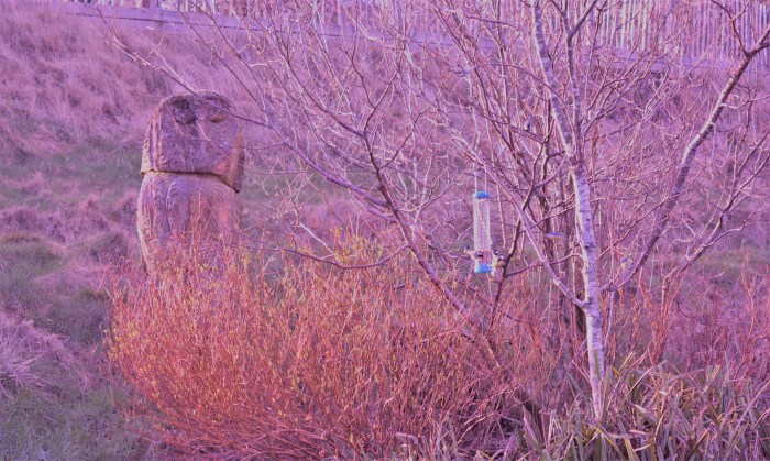
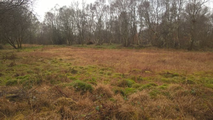
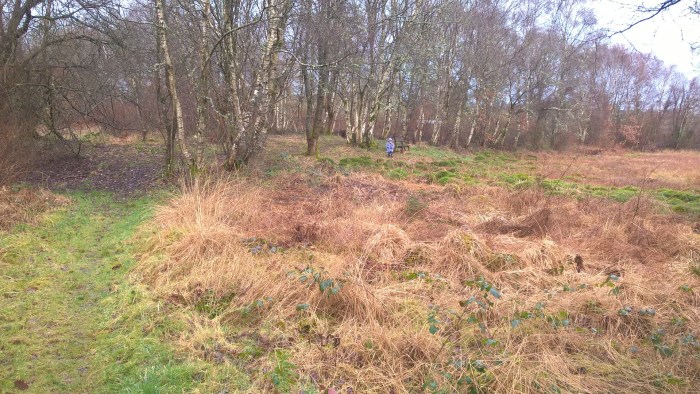
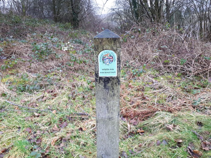
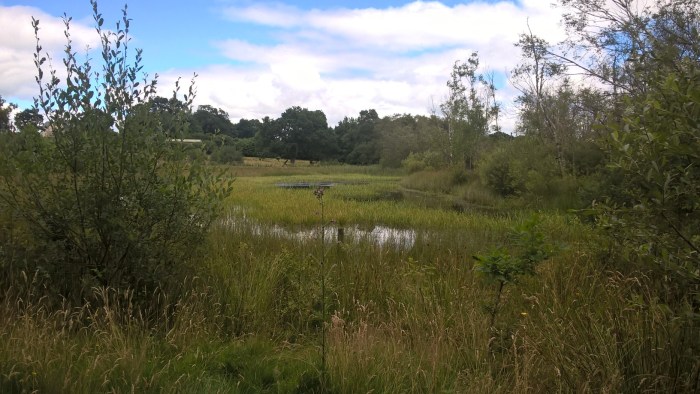
The areas to the side are designated Wildlife Area’s, so keep an eye out for any interesting residents.
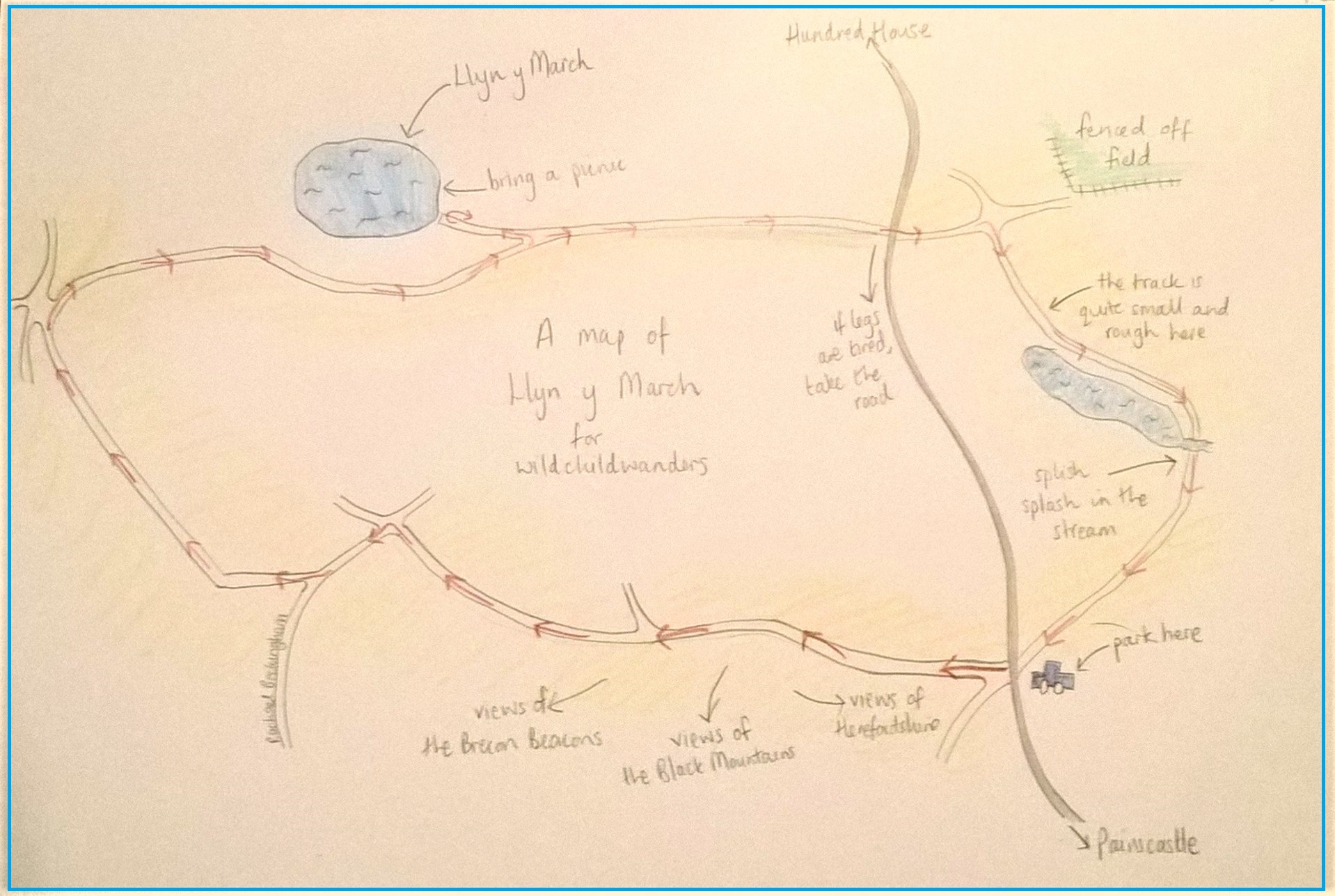
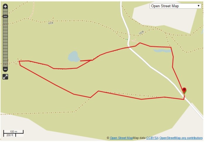
Click on the map below to view it on ViewRanger.
The OS grid reference is SN966678.

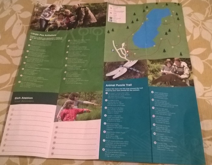
The Cwmdeuddwr Wildlife Walk is the result of the collaboration of a number of local initiatives to promote Rhayader. There is a leaflet detailing the walk and the wildlife that gives hints and tips for wildlife spotting.
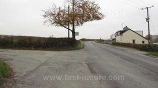
Directions: From the clock tower at the centre of Rhayader head down Bridge Street (B4518). Go over the bridge and take the second turning on the right, signposted Elan Valley Trail parking.
Happy wandering,
The Beckingham family


")


")
")
")